Via degli Dei, Hiking trail in Tuscan-Emilian Apennines, Italy
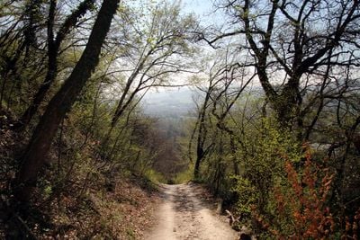
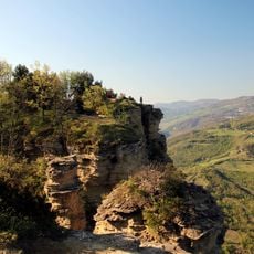
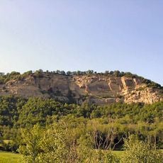
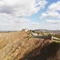
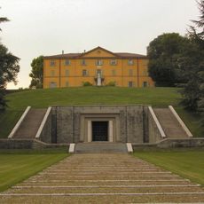
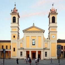
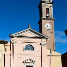
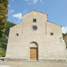
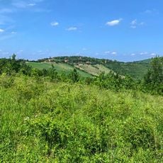
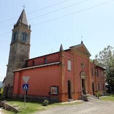
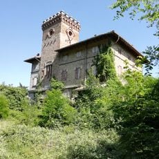
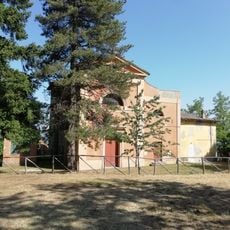
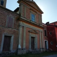
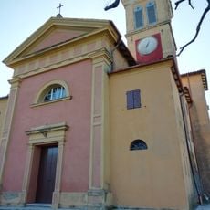
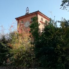
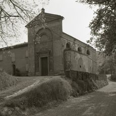
The Via degli Dei is a hiking trail in the Tuscan-Emilian Apennines, Italy, stretching 130 kilometers through dense forests and mountain paths, linking Piazza Maggiore in Bologna to Piazza della Signoria in Florence. The route crosses several ridgelines, follows old tracks between chestnut groves and open fields, and passes through small villages with stone houses and medieval churches.
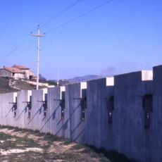
The route follows an ancient Roman road called Flaminia Militare, built in 187 BCE, with sections of original stone pavement still visible near Monte Bastione. During the Middle Ages, the path was used by pilgrims and merchants, linking two powerful city-states across the mountains.
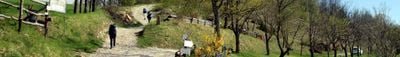
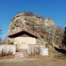
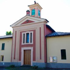
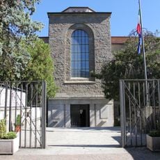
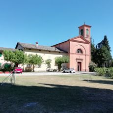
The trail takes its name from places along the route that reference Roman gods, including Monte Adone, Monzuno derived from Monte di Giove, and Monte Venere. Today, hikers pass through these villages and experience a living tradition of hospitality, where local hosts often serve homemade dishes drawing from both Emilian and Tuscan kitchens.
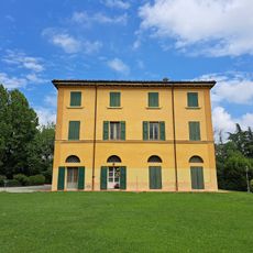
The journey takes between five and seven days on foot or two to three days by mountain bike, with numerous accommodations available in villages along the route. The trail is most comfortable in spring and autumn, when temperatures are milder and paths are less dusty or muddy.
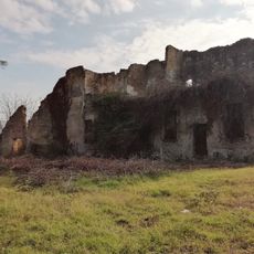
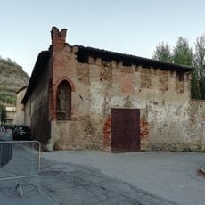
Hikers receive an official passport that collects stamps from different stages of the journey, culminating in a commemorative poster upon completion in Florence. Some sections pass through abandoned quarries, where you can still see traces of old tools and rail tracks once used to transport marble.
The community of curious travelers
AroundUs brings together thousands of curated places, local tips, and hidden gems, enriched daily by 60,000 contributors worldwide.