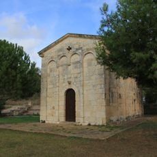
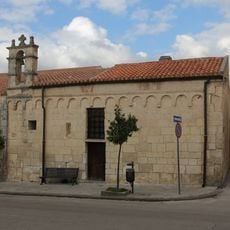
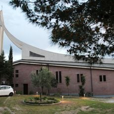
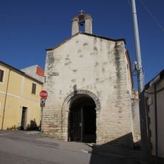
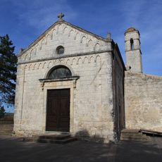
Complesso nuragico di Santa Caterina, sito nuragico nel comune italiano di Uri (SS)
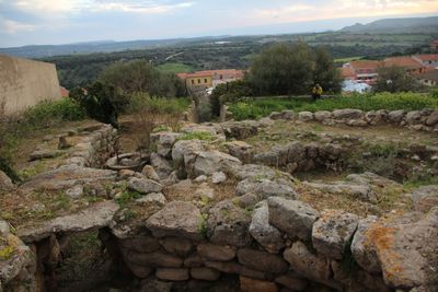
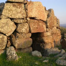
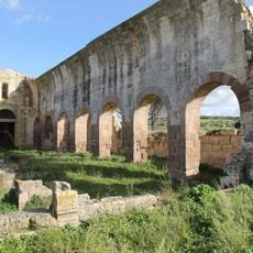
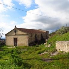
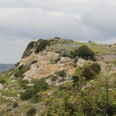
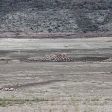
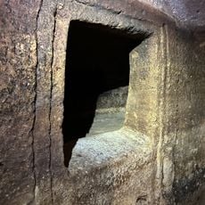
The Nuraghe Santa Caterina complex is a Bronze Age fortress centered on a large circular tower surrounded by two smaller towers connected by walls, forming an internal courtyard. Around these structures lie the remains of an ancient village with residential foundations, grinding stones, and a well, all built from carefully laid limestone and trachyte blocks.
The nuraghe was constructed during the Nuragic civilization in the Bronze Age and remained inhabited for thousands of years, through Roman and medieval periods, before eventually being abandoned. Local people later quarried stones from the ancient structure to build new homes, and archaeological discoveries including pottery fragments and old artifacts reveal continuous occupation across different historical eras.
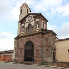
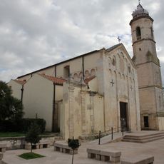
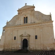
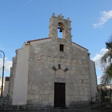
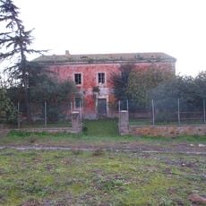
The complex bears the name of its patron saint, reflecting the religious traditions that shaped the settlement's identity over time. Today the site sits among olive trees, herbs, and Mediterranean plants, creating a quiet setting where visitors can imagine the daily rhythms of those who once lived here.
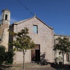
The site sits on a hillside in the center of Uri with panoramic views over the surrounding countryside and valley below. Access is from the southeast side, and the grounds can be explored on foot at a leisurely pace, with a small park featuring fruit trees and herbs offering comfortable spots to rest and reflect on what you see.
A copper coin bearing two faces was discovered near the site and may date to Roman times, suggesting the ancient inhabitants had trade connections with the expanding Roman world. This two-faced token, called an asse, hints at how the local nuragic community was linked to larger networks of exchange and influence that stretched beyond their hilltop fortress.
The community of curious travelers
AroundUs brings together thousands of curated places, local tips, and hidden gems, enriched daily by 60,000 contributors worldwide.