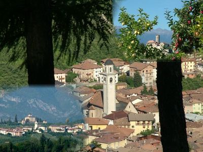
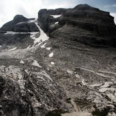
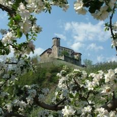
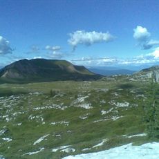
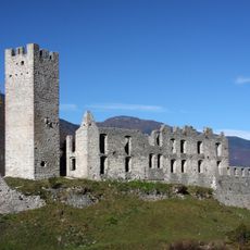
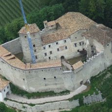
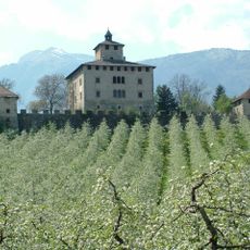
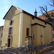
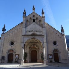
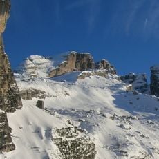
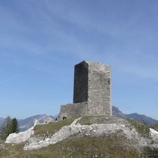
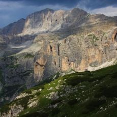
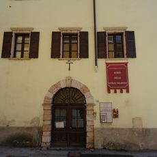
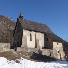
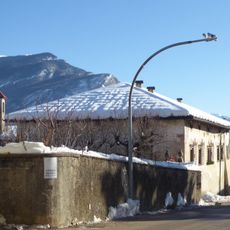
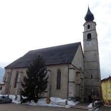
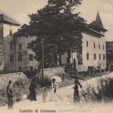
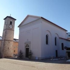
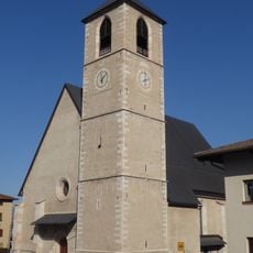
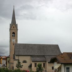
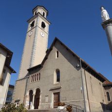
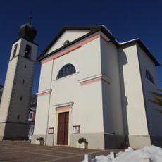
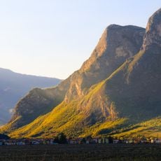
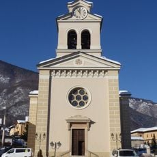
Ville d'Anaunia, Italian comune
Location: Trentino
Elevation above the sea: 629 m
Shares border with: Campodenno, Cles, Contà, Dimaro Folgarida, Denno, Molveno, Predaia, Tre Ville, Sanzeno, Spormaggiore
Website: http://comune.villedanaunia.tn.it
GPS coordinates: 46.31667,11.05000
Latest update: March 4, 2025 12:04
Cima del Grostè
17.3 km
Valer Castle
1.6 km
Parco Faunistico di Spormaggiore
11.6 km
Monte Peller
8.2 km
Castel Belfort
12.5 km
Castel Belasi
7.6 km
Castel Nanno
531 m
Saint Aloysius Gonzaga church
11.4 km
Santa Maria Assunta church
11.3 km
Cima Falkner
17.7 km
Castel Sporo
10 km
Cima Pietra Grande
15.2 km
Museo della civiltà solandra
11.3 km
Saint Emerentiana church
3.5 km
Palazzo Spaur
8.9 km
Saints Gervasius and Protasius church
4.7 km
Castello di Croviana
11.6 km
Saint Anthony church
2.8 km
Santa Maria Assunta church
2.2 km
Nativity of Saint John the Baptist church
2.4 km
Saints Ursula and Companions church
2.3 km
Immacolata church
7.9 km
Biotopo La Rocchetta
8.1 km
Nativity of Mary church
10.9 km
Saint George church
11.6 km
Saints Philip and James church
7.7 km
Santa Maria Assunta church
4.4 km
New Our Lady of Sorrows church
9 kmReviews
Visited this place? Tap the stars to rate it and share your experience / photos with the community! Try now! You can cancel it anytime.
Discover hidden gems everywhere you go!
From secret cafés to breathtaking viewpoints, skip the crowded tourist spots and find places that match your style. Our app makes it easy with voice search, smart filtering, route optimization, and insider tips from travelers worldwide. Download now for the complete mobile experience.
A unique approach to discovering new places❞
— Le Figaro
All the places worth exploring❞
— France Info
A tailor-made excursion in just a few clicks❞
— 20 Minutes