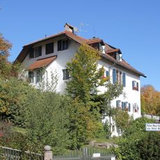
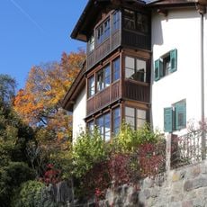
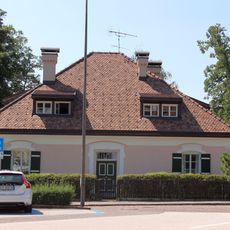
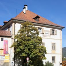
Ritten, Mountain plateau in South Tyrol, Italy.
Ritten is a ridge of the southeastern Sarntal Alps, bounded by the Sarntal to the west, the Eisacktal to the east and the Bozen basin to the south. Its plateau-like settlements lie between about 800 and 1,300 metres, while the Rittner Horn rises to 2,260 metres in the north. The ridge is built largely of Bozen quartz porphyry, shaped by Ice Age glaciers that left troughs and erratic blocks.
The plateau was first documented as Mons Ritanus around 871-875 and became a summer retreat for Bolzano residents starting in the 17th century. The cool elevation offered relief from city heat during warm months.
The plateau's name appears in 1080 as "forestis Ritanensis" in a Latin record of Ebersberg Abbey, and in the 13th-century land register of Count Meinhard II of Tyrol-Gorizia as "perch ze Ritten". The scattered villages belong to the single municipality of Ritten, and German place names such as Klobenstein, Lengstein and Wolfsgruben sit alongside their Italian forms Collalbo, Longostagno and Costalovara.
The Rittner Seilbahn has linked Bozen with Oberbozen since 1966, and the Rittner Bahn narrow-gauge railway, renewed from the 1980s, runs between Oberbozen and Klobenstein. A road open to general traffic from Bozen dates from 1971. The plateau villages lie between 800 and 1300 m, so expect cooler, changeable weather than in the valley.
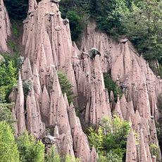
Near Oberbozen and Lengstein, natural earth pyramids form through ongoing erosion, creating tall stone-capped pillars. These unusual rock formations are a rare geological feature that draws visitors curious about their strange shapes.
The community of curious travelers
AroundUs brings together thousands of curated places, local tips, and hidden gems, enriched daily by 95,014 contributors worldwide.