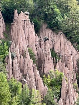
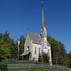
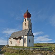
Earth pyramids of Ritten, Natural hoodoo formations in Ritten, Italy
The earth pyramids of Ritten are cone-shaped structures made of clay, gravel, and capstone boulders that rise up to 40 meters high, each crowned at its summit with a protective stone. The site contains three main clusters spread across the area near Klobenstein, Oberbozen, and Unterinn, linked by hiking paths.
These formations took shape after the last ice age when glacial deposits left by melting ice were gradually carved into pointed peaks by rainfall and erosion over thousands of years. The sculpting process continues today as new pyramids emerge while others crumble when their protective cap stones finally give way.
These formations are woven into how locals understand their landscape, representing the raw power of glacial processes that shaped South Tyrol. Visitors walking through the area gain a sense of living with dramatic natural forces that continue to reshape the terrain.
Spring and autumn are the best times to visit since the weather is mild and trails remain dry and safe for walking. Sturdy footwear is essential as paths are uneven and some routes climb steeply uphill with loose terrain.
Beneath each pyramid sits a base of softer material that helps support the weight of the protective cap stone at the top, creating an unstable balance. When this protective boulder finally falls away through erosion or weathering, the entire formation can collapse quite suddenly and dramatically.
The community of curious travelers
AroundUs brings together thousands of curated places, local tips, and hidden gems, enriched daily by 60,000 contributors worldwide.