
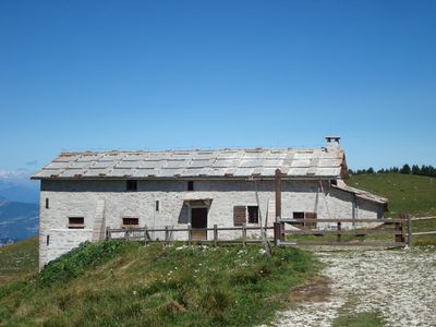
Malga Baito di cima, building in Ala, Italy
Location: Ala
Elevation above the sea: 1,593 m
GPS coordinates: 45.71306,11.04520
Latest update: March 7, 2025 03:04
Parco naturale regionale della Lessinia
3.7 km
Cima Trappola
5.5 km
San Pietro in Bosco church
5.7 km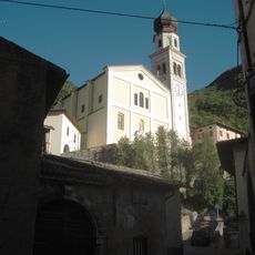
Santa Maria Assunta church
5.6 km
Palazzo Zanderighi
5.7 km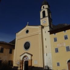
Saint Lawrence church
3.4 km
Biblioteca comunale di Ala
5.8 km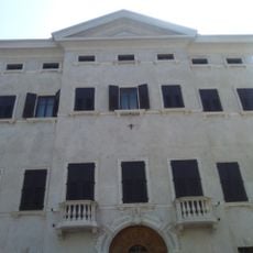
Palazzo Azzolini
5.8 km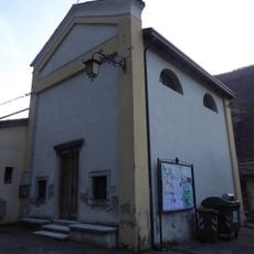
Holy Trinity church
3.9 km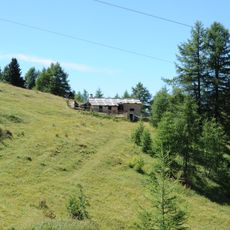
Malga Castelberto
2.8 km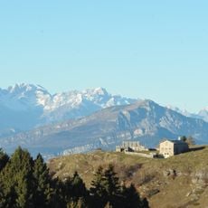
Malga Revoltel
3.7 km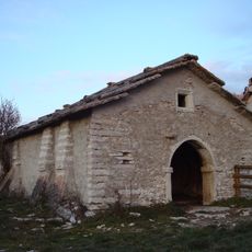
Malga Cornafessa
5.1 km
Ala City Hall
5.8 km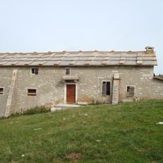
Malga Baito di fondo
1.5 km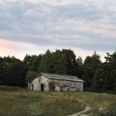
Malga Foppiano
3.5 km
Malga Sega
5.5 km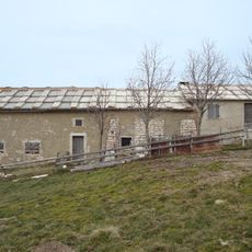
Malga Coe di Ala
3 km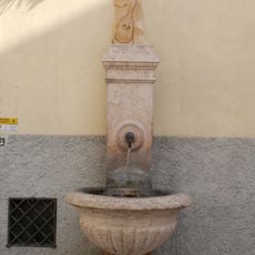
Fontana del Mandolin
5.7 km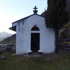
Holy Cross chapel
3.4 km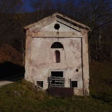
Saint Joseph chapel
5.3 km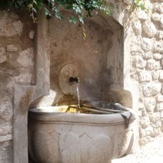
Fontana della Gioppa
5.7 km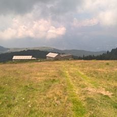
Malga Lavacchietto
4.4 km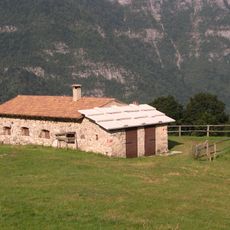
Malga Brusà
3.5 km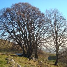
Fagus sylvatica
5.5 km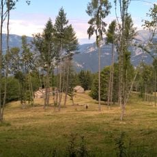
Malga Barognolo
4.1 km
Malga Maia
5.3 km
Malga Lavacchione
4.5 km
Cima Levante
5.2 kmVisited this place? Tap the stars to rate it and share your experience / photos with the community! Try now! You can cancel it anytime.
Discover hidden gems everywhere you go!
From secret cafés to breathtaking viewpoints, skip the crowded tourist spots and find places that match your style. Our app makes it easy with voice search, smart filtering, route optimization, and insider tips from travelers worldwide. Download now for the complete mobile experience.

A unique approach to discovering new places❞
— Le Figaro
All the places worth exploring❞
— France Info
A tailor-made excursion in just a few clicks❞
— 20 Minutes