Ala, Italian comune
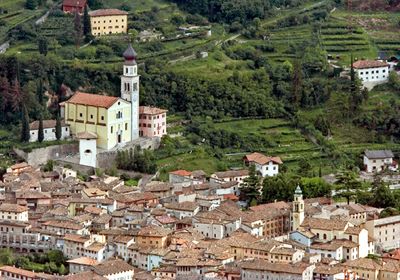
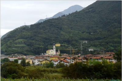
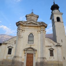
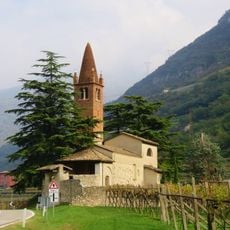
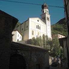
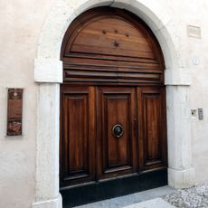
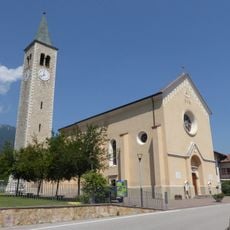
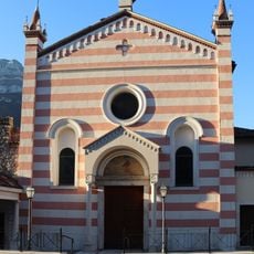
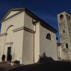
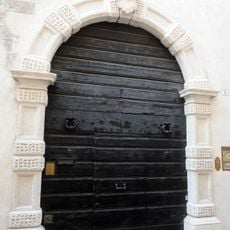
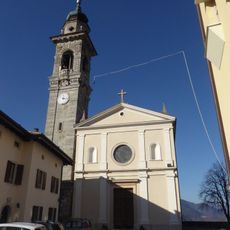
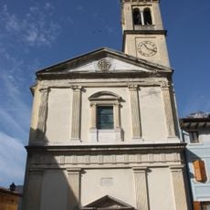
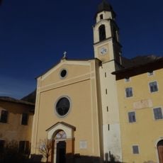
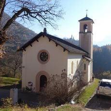
Ala is a small town in the Trentino region of northern Italy, situated in a valley between gentle hills and mountains. The old center features baroque buildings with stone facades, narrow streets lined with arcades and hidden courtyards, surrounded by houses with carved wooden doors and colorful exterior walls.
The town emerged in medieval times and became an important border crossing between Italy and Austria-Hungary. Archaeological finds show Roman and Germanic settlement, while velvet and silk production beginning in the 17th century brought significant wealth and recognition across Europe.
Ala is known as the 'City of Velvet' because of its famous silk velvet production during the 17th and 18th centuries, which shaped the town's wealth and identity. Today, local workshops and museums keep this craft tradition alive, while seasonal festivals celebrate traditional skills and recipes with costumed performances and artisan demonstrations.
The small town is best explored on foot, as all important sites are within easy walking distance and narrow streets invite leisurely strolls. Visitors can stay at small hotels, inns, and farm accommodations, with cafes and restaurants serving local dishes, cheeses, and cured meats throughout the day.
The Antique Piano Museum houses rare keyboard instruments that were played by famous composers like Beethoven and Mozart, offering a window into European music history. Some of these musicians visited Italy and performed in Ala, making the town an unexpected center of European musical culture.
The community of curious travelers
AroundUs brings together thousands of curated places, local tips, and hidden gems, enriched daily by 60,000 contributors worldwide.