
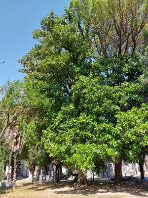
Magnolia
Location: Terni
Elevation above the sea: 130 m
Height: 20 m
Part of: inhabited area
Address: Cimitero comunale
GPS coordinates: 42.56583,12.63333
Latest update: March 23, 2025 11:19

Terni Cathedral
1 km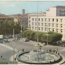
Fontana dello Zodiaco
1.3 km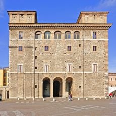
Palazzo Spada
1.2 km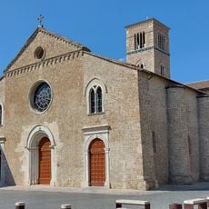
San Francesco, Terni
1 km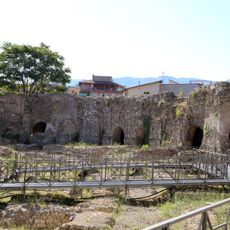
Anfiteatro Fausto
1.1 km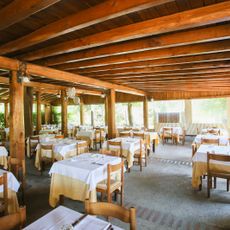
Trattoria antica osteria Friozzu
997 m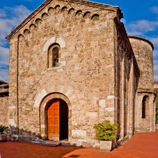
San Salvatore, Terni
1.3 km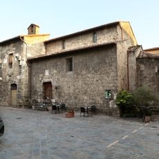
Sant'Alò, Terni
984 m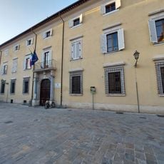
Palazzo Gazzoli
1.1 km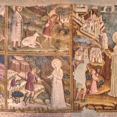
Chiesa di Santa Maria del Monumento
47 m
San Cristoforo, Terni
1.3 km
Diocesan and Capitular Museum of Terni
1 km
Archivio di Stato di Terni
1 km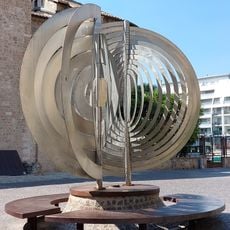
Forme in evoluzione dello spazio n. 1
1.1 km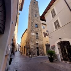
Torre Barbarasa
1.2 km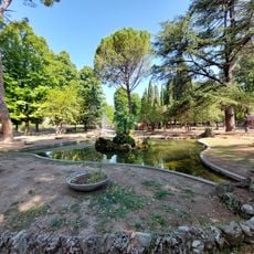
La Passeggiata
989 m
Uprium
398 m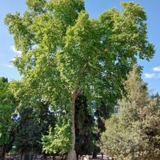
Platano
1 km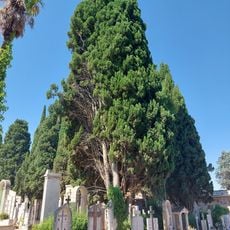
Cipresso comune
150 m
Fontana di Piazza del Duomo
1.1 km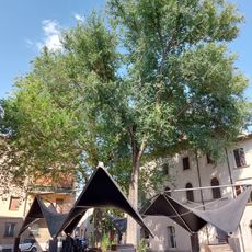
Olmo campestre
988 m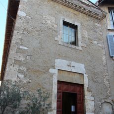
Santa Croce
1.1 km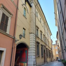
Palazzo Mariani
1.3 km
Palazzo del Comune
1.3 km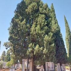
Cipresso comune
202 m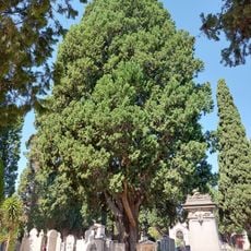
Cipresso comune
77 m
Olmo campestre
988 m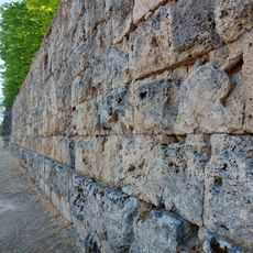
Roman Walls of Terni
1.2 kmReviews
Visited this place? Tap the stars to rate it and share your experience / photos with the community! Try now! You can cancel it anytime.
Discover hidden gems everywhere you go!
From secret cafés to breathtaking viewpoints, skip the crowded tourist spots and find places that match your style. Our app makes it easy with voice search, smart filtering, route optimization, and insider tips from travelers worldwide. Download now for the complete mobile experience.

A unique approach to discovering new places❞
— Le Figaro
All the places worth exploring❞
— France Info
A tailor-made excursion in just a few clicks❞
— 20 Minutes