Enable Location

We need your location to show you interesting places around you

Discover nearby places

Find interesting locations and hidden gems around you

Precise directions

Get accurate directions and distances to places

Your location is never shared with other users. It's only used when you tap the location button.

Terni

Log in to your account

Join the adventure

Create your free account and start exploring

Save your favorite places
Create custom travel routes
Rate and review places
Access the full interactive map
Continue with Google
Continue with Apple
Continue with email
By continuing, you accept our Terms and Conditions and our Privacy Policy

We will send you a code to connect

We've sent a pincode in your inbox. Please enter the code below.

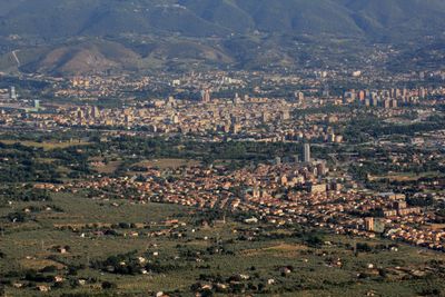
Terni, Industrial city in southern Umbria, Italy

Description

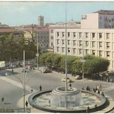
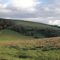
The city covers a wide plain formed by the Nera and Velino rivers, framed by green hills and mountain ranges in central Italy. Three industrial zones shape the skyline with plants dedicated to stainless steel production, polymer manufacturing, and renewable energy technology development.

History

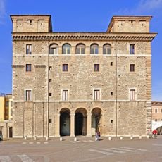
Umbrian tribes founded the settlement of Interamna in the 7th century BC, before it developed as a Roman town along the Via Flaminia. The medieval period brought struggles between papal and imperial authority, while industrialization in the 19th century introduced steel manufacturing.

Culture

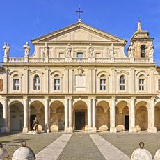
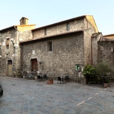
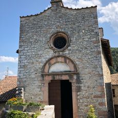
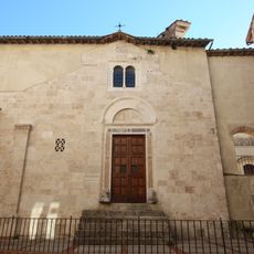
The Basilica of Saint Valentine preserves the remains of the patron saint of love and draws couples from many countries. Local artisans in the old center sell traditional ironwork and textiles that recall the long craft tradition of the town.

Practical

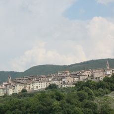
The old center sits on a hill above the plain and is easy to explore on foot, while the industrial districts are best reached by public transport. Most sights are located within a compact core, making it possible to visit the main spots in a single day.

Did you know?

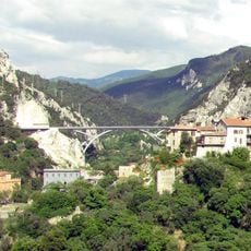
The Marmore Falls nearby were created by Roman water engineering and cascade 165 meters (541 feet) across three tiers. The water is still used for hydroelectric power, so the flow is regulated according to energy demand.

i
i
Elevation above the sea
130 m
i
Shares border with
Acquasparta, Arrone, Colli sul Velino, Labro, Montecastrilli, Montefranco, Narni, Rieti, San Gemini, Spoleto, Stroncone
i
GPS coordinates
42.56667,12.65000
i
Latest update
December 14, 2025 21:11

AroundUs brings together thousands of curated places, local tips, and hidden gems, enriched daily by 60,000 contributors worldwide. Discover all places nearby (province of Terni).

Reviews

Visited this place? Tap the stars to rate it and share your experience / photos with the community! Try now! You can cancel it anytime.

« Terni - Industrial city in southern Umbria, Italy » is provided by Around Us (aroundus.com). Images and texts are derived from Wikimedia project under a Creative Commons license. You are allowed to copy, distribute, and modify copies of this page, under the conditions set by the license, as long as this note is clearly visible.

Discover hidden gems everywhere you go!

From secret cafés to breathtaking viewpoints, skip the crowded tourist spots and find places that match your style. Our app makes it easy with voice search, smart filtering, route optimization, and insider tips from travelers worldwide. Download now for the complete mobile experience.

Around Us App Screenshot

A unique approach to discovering new places

Le Figaro

All the places worth exploring

France Info

A tailor-made excursion in just a few clicks

20 Minutes