
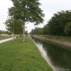
Platano comune
Location: Somma Lombardo
Elevation above the sea: 280 m
Height: 24 m
Part of: inhabited area
Address: Strada statale 33
GPS coordinates: 45.67950,8.72397
Latest update: April 4, 2025 14:54
Canale Villoresi
4.7 km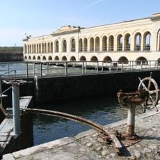
Diga del Panperduto
3.4 km
Cascina Malpensa
4.4 km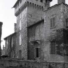
Castello Visconteo
1.4 km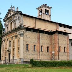
Madonna della Ghianda
1.1 km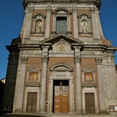
Basilica of St. Agnes
1.4 km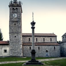
San Vittore
990 m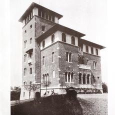
Villino Cattoretti
845 m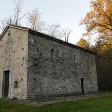
Santi Cosma e Damiano
2.5 km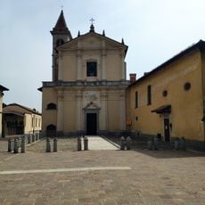
Chiesa di Santo Stefano
1.1 km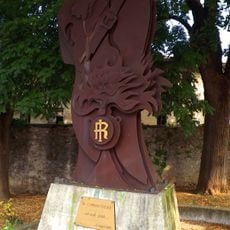
Monumento ai Carabinieri
1.5 km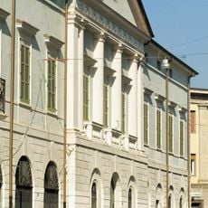
Civico Museo Archeologico
1.1 km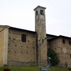
Santa Maria in Monticello
1.5 km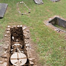
Necropolis of Arsago Seprio
1.1 km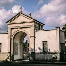
Cemetery of Crenna
3.9 km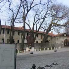
Fattorie Visconti
1.6 km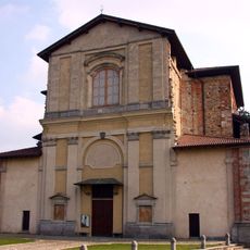
Chiesa di San Rocco
1.5 km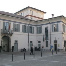
Palazzo Comunale Viani Visconti
1.4 km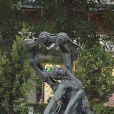
Monumento ai Caduti sul Lavoro
1.1 km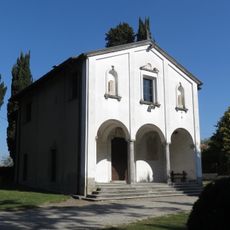
Chiesa del Lazzaretto
2.6 km
Statues of lions in Somma Lombardo
1.7 km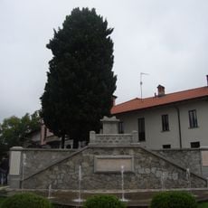
Memorial to War Fallen
1.5 km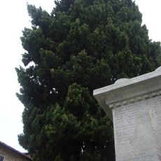
Cipresso millenario
1.5 km
Biblioteca comunale Giuseppina Aliberti
1 km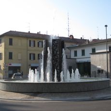
Fountain
1.2 km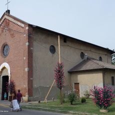
Sant'Ilario
2.3 km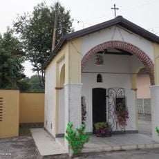
Cappella di San Rocco
1.4 km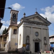
Chiesa di San Bernardino
1.5 kmReviews
Visited this place? Tap the stars to rate it and share your experience / photos with the community! Try now! You can cancel it anytime.
Discover hidden gems everywhere you go!
From secret cafés to breathtaking viewpoints, skip the crowded tourist spots and find places that match your style. Our app makes it easy with voice search, smart filtering, route optimization, and insider tips from travelers worldwide. Download now for the complete mobile experience.

A unique approach to discovering new places❞
— Le Figaro
All the places worth exploring❞
— France Info
A tailor-made excursion in just a few clicks❞
— 20 Minutes