Amami Ōshima, Subtropical island in Kagoshima Prefecture, Japan.
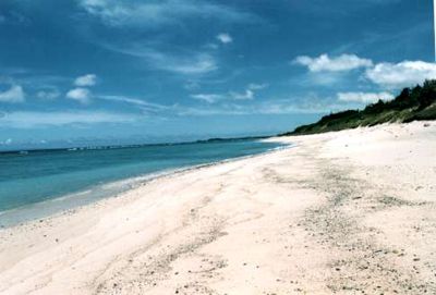
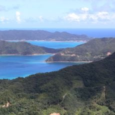
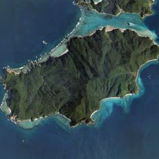
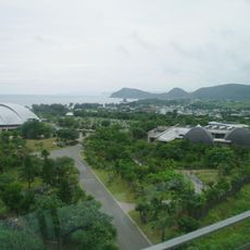
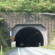
Amami Ōshima is an island in the East China Sea between Kyushu and Okinawa, covering roughly 712 square kilometers (275 square miles) with beaches, coral banks, and forests occupying nearly two thirds of the terrain. The coastline alternates between sandy coves and rocky stretches, while the interior rises into forested hills crossed by narrow roads.
The territory joined the Ryukyu Kingdom in 1571 before shifting hands after the Shimazu clan invaded in 1611, bringing it under Tokugawa control. That political turn reshaped the later governance and introduced Japanese administrative structures into an area previously influenced by Okinawa.
Local artisans continue the labor of handweaving Oshima Tsumugi silk, a painstaking craft that requires repeated dyeing and threading. Workshops open to travelers show how each bolt of fabric takes months to complete, preserving methods passed down through generations.
Flights from several major Japanese cities connect the territory to the mainland, while ferries offer a longer alternative across the sea. Renting a car helps when exploring inland areas, because many natural sites lie away from the small settlements.
The Amami rabbit lives only in the forests here and belongs to the protected species within the UNESCO World Heritage area. Night walks along quiet forest trails sometimes reveal these nocturnal animals foraging in the undergrowth.
The community of curious travelers
AroundUs brings together thousands of curated places, local tips, and hidden gems, enriched daily by 60,000 contributors worldwide.