Enable Location

We need your location to show you interesting places around you

Discover nearby places

Find interesting locations and hidden gems around you

Precise directions

Get accurate directions and distances to places

Your location is never shared with other users. It's only used when you tap the location button.

Shijonawate

Log in to your account

Start exploring — it's free

Trusted by 61,823 travelers worldwide

Continue with Google
Continue with Apple
or

We will send you a code to connect

By continuing, you accept our Terms and Conditions and our Privacy Policy

Check your inbox

We've sent a pincode in your inbox. Please enter the code below.

Shijonawate, Administrative city in Osaka Prefecture, Japan

Description

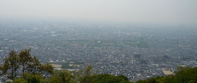
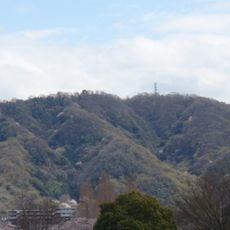
Shijonawate is an administrative city in eastern Osaka Prefecture, with two thirds of its territory covered by the forested slopes of the Ikoma Mountains. Flatter zones in the western section contain residential areas and public facilities linked by a network of rail lines and highways.

History

The area gained historical importance in 1348 through the Battle of Shijonawate, fought here between rival warlords. The modern municipal structure was established on April 1, 1889, when the region was incorporated into the new municipal system.

Culture

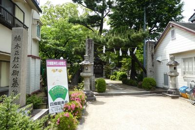
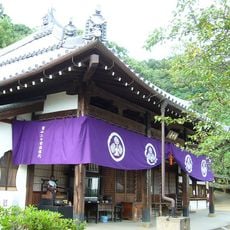
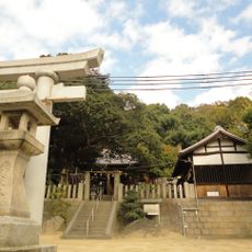
The name of this city recalls an old crossroads from feudal times that linked travelers between the mountains and the plain. Residential neighborhoods now stretch toward the wooded slopes, while local shops and small temples shape the appearance of the flatter districts.

Practical

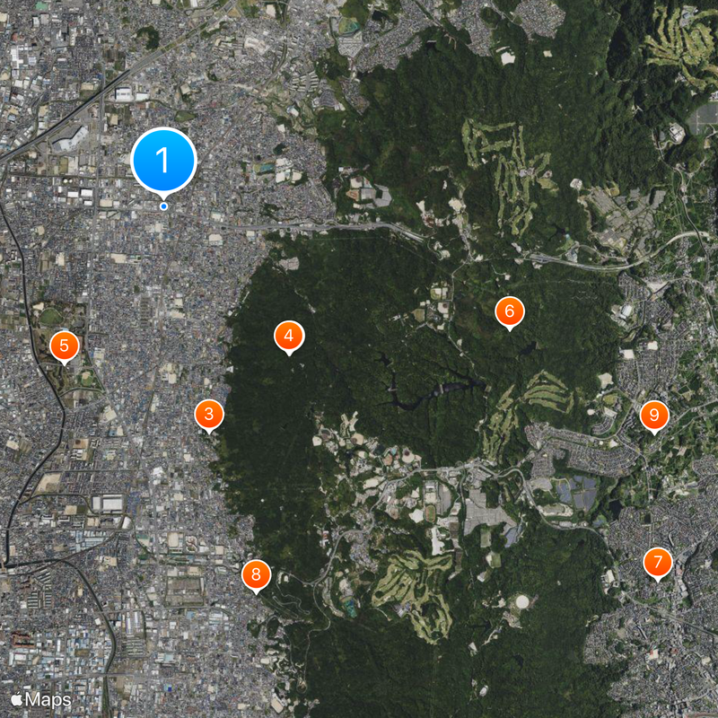
Access is provided by the Katamachi Line operated by JR West and National Routes 163 and 170 that run through the western section. Flatter areas near train stations work better for walking tours, while hillside neighborhoods require steep climbs.

Did you know?

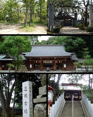
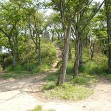
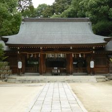
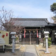
The gravesite of Kusunoki Masashige, a legendary samurai from the 14th century, attracts visitors who pay their respects to him as a symbol of loyalty. The ruins of Iimoriyama Castle on a forested hilltop form part of a national historic site and can be reached by walking trails.

Location
Inception
April 1, 1889
Reference
272299
Shares border with
Ikoma, Neyagawa, Katano, Daitō
GPS coordinates
34.73992,135.63953
Latest update
December 13, 2025 16:57

AroundUs brings together thousands of curated places, local tips, and hidden gems, enriched daily by 60,000 contributors worldwide. Discover all places nearby (Osaka Prefecture).

« Shijonawate - Administrative city in Osaka Prefecture, Japan » is provided by Around Us (aroundus.com). Images and texts are derived from Wikimedia project under a Creative Commons license. You are allowed to copy, distribute, and modify copies of this page, under the conditions set by the license, as long as this note is clearly visible.

Discover hidden gems everywhere you go!

From secret cafés to breathtaking viewpoints, skip the crowded tourist spots and find places that match your style. Our app makes it easy with voice search, smart filtering, route optimization, and insider tips from travelers worldwide. Download now for the complete mobile experience.

Around Us App Screenshot

A unique approach to discovering new places

Le Figaro

All the places worth exploring

France Info

A tailor-made excursion in just a few clicks

20 Minutes

Around Us
Travel Guide & Maps
Download

Send to your phone

QR Code
1

Open the camera app on your mobile.

2

Point at the QR code with your camera. A notification will appear.

3

Tap the notification to open the link.