Enable Location

We need your location to show you interesting places around you

Discover nearby places

Find interesting locations and hidden gems around you

Precise directions

Get accurate directions and distances to places

Your location is never shared with other users. It's only used when you tap the location button.

Ogata

Log in to your account

Start exploring — it's free

Trusted by 63,526 travelers worldwide

Continue with Google
Continue with Apple
or

We will send you a code to connect

By continuing, you accept our Terms and Conditions and our Privacy Policy

Check your inbox

We've sent a pincode in your inbox. Please enter the code below.

Discussion Reviews 3 Photos
40.3k Popularity

Ogata, Agricultural village in Minamiakita District, Japan

Ogata is a village in Minamiakita District built on reclaimed land from the former Hachirōgata Lake. The settlement features extensive rice paddies and wetland areas managed through a network of drainage canals and pumping facilities that control water levels year-round.

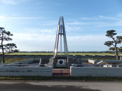
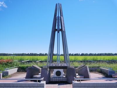
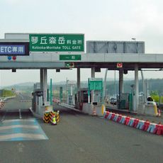
The village was established in 1964 following a massive land reclamation project that drained one of Japan's largest lakes. This transformation effort reshaped the region and created new agricultural opportunities where water once dominated the landscape.

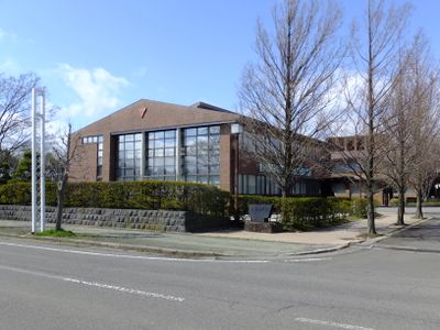
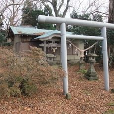
The Ogata Shrine and Polder Museum preserve local traditions while educating visitors about the region's agricultural heritage and land reclamation methods.

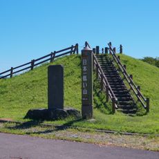
Bring sturdy footwear as many walking paths cross through damp fields and agricultural areas. A local museum offers context on the land reclamation history and serves as a good introduction to understanding the area.

The Former Hachiro Lagoon Settler Training Facility stands as evidence of the complete transformation from Japan's second largest lake to agricultural land.

The community of curious travelers

AroundUs brings together thousands of curated places, local tips, and hidden gems, enriched daily by 60,000 contributors worldwide.

Start exploring
Inception
October 1, 1964
Reference
053686
Shares border with
Oga, Katagami, Hachirogata, Mitane, Ikawa, Gojome
GPS coordinates
40.01781,139.95994
Latest update
December 17, 2025 08:42
Reviews
Share your experience

No review yet

Discussions
Start a discussion...

No discussion yet

« Ogata - Agricultural village in Minamiakita District, Japan » is provided by Around Us (aroundus.com). Images and texts are derived from Wikimedia project under a Creative Commons license. You are allowed to copy, distribute, and modify copies of this page, under the conditions set by the license, as long as this note is clearly visible.

Discover hidden gems everywhere you go!

From secret cafés to breathtaking viewpoints, skip the crowded tourist spots and find places that match your style. Our app makes it easy with voice search, smart filtering, route optimization, and insider tips from travelers worldwide. Download now for the complete mobile experience.

Around Us App Screenshot

A unique approach to discovering new places

Le Figaro

All the places worth exploring

France Info

A tailor-made excursion in just a few clicks

20 Minutes

Around Us
Travel Guide & Maps
Download

Send to your phone

QR Code
1

Open the camera app on your mobile.

2

Point at the QR code with your camera. A notification will appear.

3

Tap the notification to open the link.