Enable Location

We need your location to show you interesting places around you

Discover nearby places

Find interesting locations and hidden gems around you

Precise directions

Get accurate directions and distances to places

Your location is never shared with other users. It's only used when you tap the location button.

Ina

Log in to your account

Start exploring — it's free

Trusted by 61,459 travelers worldwide

Continue with Google
Continue with Apple
or

We will send you a code to connect

By continuing, you accept our Terms and Conditions and our Privacy Policy

Check your inbox

We've sent a pincode in your inbox. Please enter the code below.

Ina, Administrative town in Kitaadachi district, Japan.

Description

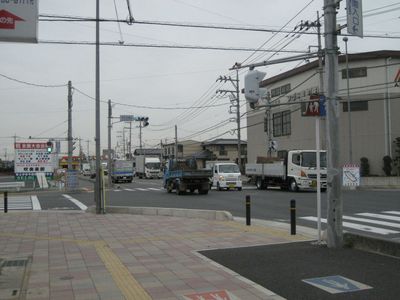
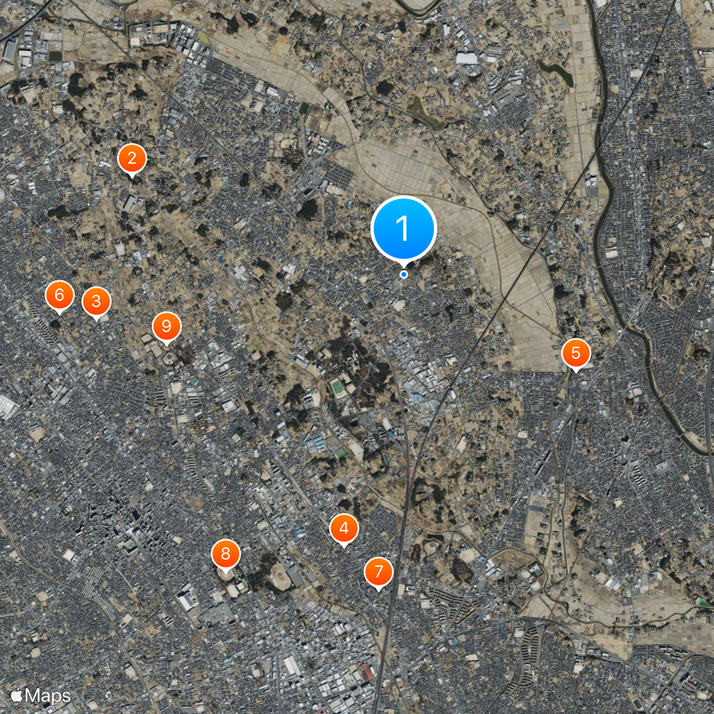
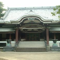
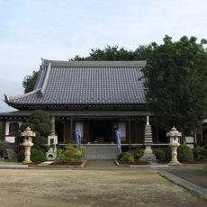
Ina is a town in Kitaadachi district, Saitama Prefecture, located on flat terrain in the central-east part of the region. Residential areas, schools, and local shops are spread throughout, creating a typical Japanese town layout with houses, streets, and community facilities.

History

The town of Ina was formed in 1970 when the village gained town status, following the merger of two earlier settlements, Komuro and Kobari, in 1943. This consolidation shaped how the place developed from rural villages into a modern residential community.

Culture

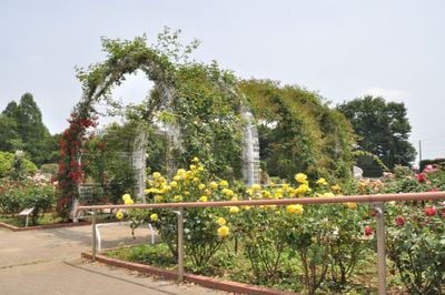
The name reflects the location and how residents experience daily life here as a regular residential town with shops, parks, and community spaces scattered throughout. Family and neighborhood connections are central to how people use the town, particularly around schools and public gathering spots.

Practical

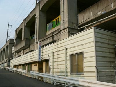
The Saitama New Urban Transit system connects several stations throughout the town, making it easy to get around. The flat terrain makes walking and cycling comfortable and convenient for getting from place to place.

Did you know?

The location sits on the Omiya plateau with a gentle elevation of about 19 meters (62 feet) above sea level. This low-lying terrain has made it attractive for residents seeking flat land for residential development.

Inception
July 15, 1943
Reference
113018
Shares border with
Ageo, Okegawa, Hasuda
GPS coordinates
36.00008,139.62417
Latest update
December 17, 2025 09:06

AroundUs brings together thousands of curated places, local tips, and hidden gems, enriched daily by 60,000 contributors worldwide. Discover all places nearby (Kitaadachi district).

« Ina - Administrative town in Kitaadachi district, Japan » is provided by Around Us (aroundus.com). Images and texts are derived from Wikimedia project under a Creative Commons license. You are allowed to copy, distribute, and modify copies of this page, under the conditions set by the license, as long as this note is clearly visible.

Discover hidden gems everywhere you go!

From secret cafés to breathtaking viewpoints, skip the crowded tourist spots and find places that match your style. Our app makes it easy with voice search, smart filtering, route optimization, and insider tips from travelers worldwide. Download now for the complete mobile experience.

Around Us App Screenshot

A unique approach to discovering new places

Le Figaro

All the places worth exploring

France Info

A tailor-made excursion in just a few clicks

20 Minutes

Around Us
Travel Guide & Maps
Download

Send to your phone

QR Code
1

Open the camera app on your mobile.

2

Point at the QR code with your camera. A notification will appear.

3

Tap the notification to open the link.