Enable Location

We need your location to show you interesting places around you

Discover nearby places

Find interesting locations and hidden gems around you

Precise directions

Get accurate directions and distances to places

Your location is never shared with other users. It's only used when you tap the location button.

Log in to your account

Start exploring — it's free

Trusted by 61,455 travelers worldwide

Continue with Google
Continue with Apple
or

We will send you a code to connect

By continuing, you accept our Terms and Conditions and our Privacy Policy

Check your inbox

We've sent a pincode in your inbox. Please enter the code below.

Kitaadachi district

Kitaadachi district, Administrative district in Saitama Prefecture, Japan

Description

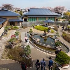
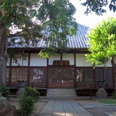
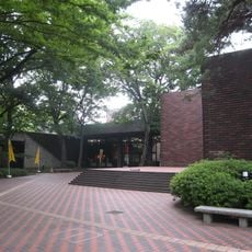
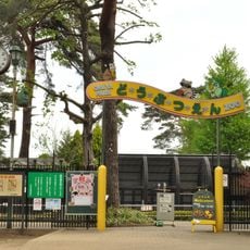
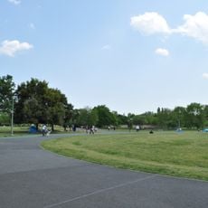
Kitaadachi district is an administrative region in Saitama Prefecture comprising several municipalities and residential areas in the northern part of the prefecture. The area consists of various districts with different characteristics, ranging from older established centers to modern residential developments.

History

The area originated in 1879 with Urawa-juku as its first administrative seat, before Urawa took over this role from 1889 to 1926, marking significant administrative changes. Over the following decades, the region underwent repeated restructuring and mergers that reflected Japan's shifting administrative landscape.

Culture

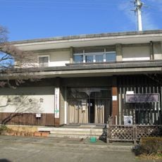
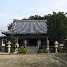
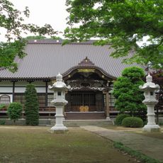
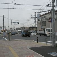
The area reflects how Japanese communities blend older town centers with newer residential neighborhoods that have grown over time. Walking through different parts shows the contrast between traditional street layouts and contemporary urban development.

Practical

The area is connected to major cities through several railway lines, making travel and exploration convenient. Different parts of the district are easily accessible, with public transportation offering a practical way to explore the various communities.

Did you know?

The area has incorporated and dissolved over 70 different municipalities throughout its history, demonstrating the complex restructuring of Japanese administrative systems. These repeated changes shape the patchwork of different communities visible in the district today.

Inception
March 17, 1879
GPS coordinates
35.97200,139.63600
Latest update
December 20, 2025 11:39

AroundUs brings together thousands of curated places, local tips, and hidden gems, enriched daily by 60,000 contributors worldwide. Discover all places nearby (Saitama Prefecture).

Administrative divisions
« Kitaadachi district - Administrative district in Saitama Prefecture, Japan » is provided by Around Us (aroundus.com). Images and texts are derived from Wikimedia project under a Creative Commons license. You are allowed to copy, distribute, and modify copies of this page, under the conditions set by the license, as long as this note is clearly visible.

Discover hidden gems everywhere you go!

From secret cafés to breathtaking viewpoints, skip the crowded tourist spots and find places that match your style. Our app makes it easy with voice search, smart filtering, route optimization, and insider tips from travelers worldwide. Download now for the complete mobile experience.

Around Us App Screenshot

A unique approach to discovering new places

Le Figaro

All the places worth exploring

France Info

A tailor-made excursion in just a few clicks

20 Minutes

Around Us
Travel Guide & Maps
Download

Send to your phone

QR Code
1

Open the camera app on your mobile.

2

Point at the QR code with your camera. A notification will appear.

3

Tap the notification to open the link.