Setonaikai National Park, National park across 11 prefectures of Japan
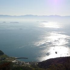
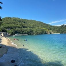
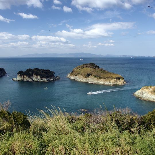
Setonaikai National Park is a non-contiguous national park comprising about 3,000 islands of the Seto Inland Sea and coastal areas of ten prefectures, from Shimonoseki's Fire Mountain in the west to Wakayama in the east. Its land area totals 66,934 hectares, making it Japan's largest national park by combined land and sea area. The park includes forested islets, rocky shorelines, and a densely built town at the foot of a rounded, forested hill, with a long low bridge crossing the water nearby.
The park was created in 1934 to protect the sea environment and island landscapes of this region. Over the following decades, its boundaries expanded several times to include more areas and ecosystems.
Islands in the park carry names tied to local stories: Ogijima is said to take its name from the fan of Nasu no Yoichi drifting ashore after a Genpei War battle, and Megijima is called Onigashima, linked to the Momotaro legend, with a cave on Washigamine said to be the ogre's dwelling. On Shodoshima, Goishiyama is the first of the island's 88 temple stops.
The park is easily reached from major cities like Hiroshima and Okayama by train, with connections to different areas and islands. You should decide in advance which parts of the park interest you most, since the territory covers such a large area.
The Naruto Strait within the park produces powerful tidal currents that create swirling water patterns on the surface. This natural phenomenon is most visible at certain tidal times and draws many observers to watch the display.
The community of curious travelers
AroundUs brings together thousands of curated places, local tips, and hidden gems, enriched daily by 93,160 contributors worldwide.