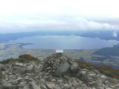
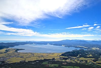
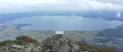
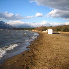
Lake Inawashiro, Tectonic lake in Fukushima Prefecture, Japan.
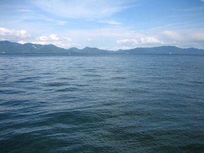
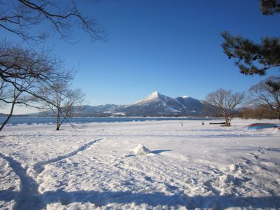
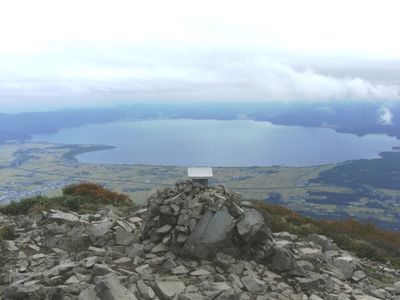
This body of water covers 104 square kilometers at an altitude of 514 meters, with depths reaching 94 meters in places across central Fukushima Prefecture. The volcanic cone of Mount Bandai rises directly from the northern shore, while smaller mountains frame the other sides.
Shifts in the earth's crust formed the basin roughly 30,000 years ago, and eruptions from Mount Bandai have changed the shape of the body of water over time. The 1888 eruption created new features along the northern shore and sent sediments that altered the floor.
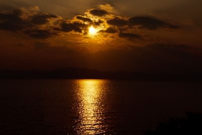
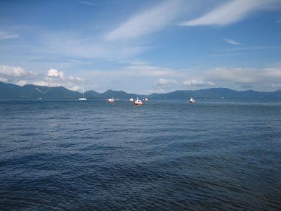
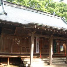
This body of water takes its name from the old Inawashiro castle that once stood on its southern shore. People come here now to camp with views of Mount Bandai, relax on beaches, or sail across the open water.
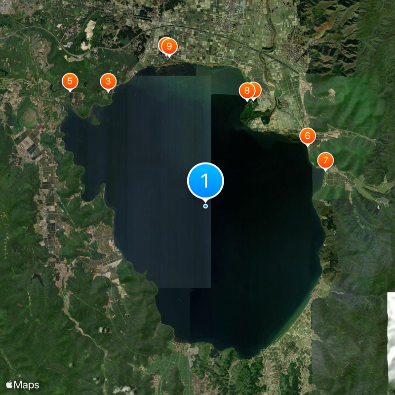
Three channels bring water from here to Koriyama city, while the surrounding region uses several hydroelectric plants. Main roads run along the western, southern, and eastern sides with several public access points.
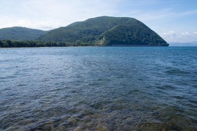
The acidity here stays constant at a pH of 5.0 because of minerals from the floor, allowing visibility down to 20 meters below the surface. This makes it one of the clearest in Japan.
The community of curious travelers
AroundUs brings together thousands of curated places, local tips, and hidden gems, enriched daily by 60,000 contributors worldwide.