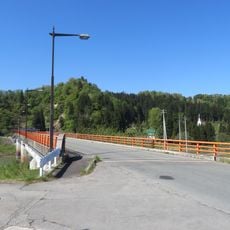
Okura, village in Mogami District, Yamagata Prefecture, Japan
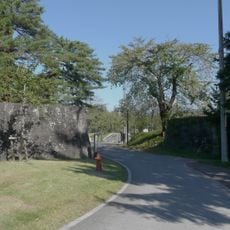
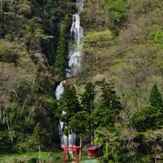
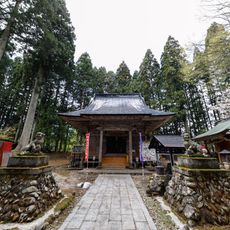
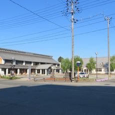
Okura is a small village in the Mogami district known for its heavy winter snowfall that blankets the landscape for much of the year. It consists of traditional wooden houses, quiet streets, and fields that transform seasonally, with hot springs and mountain shrines scattered throughout the surrounding area.
Okura developed as a settlement where people adapted to extreme winter conditions and made use of natural resources in their surroundings. The hot springs in the area have been used for centuries, attracting visitors and shaping the village's development over time.
Okura's name reflects the village's deep connection to heavy winter snowfall, which shapes local traditions and community gatherings. The residents celebrate snow as a source of pride, turning the harsh season into a reason for togetherness and festive celebrations.
Visitors should prepare for intense cold and snow when visiting between November and March, when the village is heavily blanketed. The easiest way to reach it is by bus from nearby Shinjo Station, about an hour away, or by using the free shuttle service offered by local hot spring inns.
A giant snowman called Okura-kun was built here and set a Guinness World Record in 1995 as the world's largest snowman. The figure took two weeks to construct and stood as tall as a large apartment building.
The community of curious travelers
AroundUs brings together thousands of curated places, local tips, and hidden gems, enriched daily by 60,000 contributors worldwide.