Lot's Wife, Volcanic island in Philippine Sea, Japan
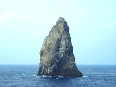
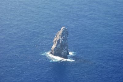
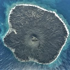
Lot's Wife, also known as Sofu Iwa, is a volcanic rock pillar made of basalt in the Philippine Sea south of Tokyo. The sheer walls drop straight into the water and reach a height of 99 meters (about 325 feet).
A British merchant discovered the rock in 1788 while passing through and named it after a biblical figure from the city of Sodom. Japanese sailors later adopted the name on their sea charts and still use it today.
The Japanese name Sofu Iwa represents the international connection between Western biblical reference and Eastern geographical nomenclature for this natural formation.
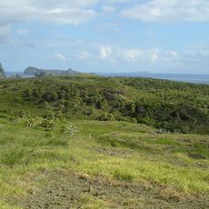
The island can only be reached by boat and lies about 650 kilometers south of the capital. Strong currents and steep cliffs make landing almost impossible, so it can only be viewed from a distance.
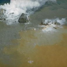
Below the surface, a caldera extends nearly three kilometers to the southeast. The clear water attracts many marine creatures that can be observed near the island.
The community of curious travelers
AroundUs brings together thousands of curated places, local tips, and hidden gems, enriched daily by 60,000 contributors worldwide.