
Maniwa district, district in Okayama prefecture, Japan
Location: Okayama Prefecture
Inception: April 1, 1900
GPS coordinates: 35.20472,133.56000
Latest update: March 29, 2025 02:34
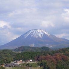
Daisen
18.6 km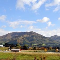
Hiruzen
16.4 km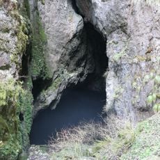
Himesakakanachiana Limestone Cave
25.2 km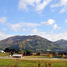
Hiruzen Plateau
14.5 km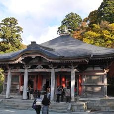
Daisen-ji
20.9 km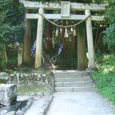
Kamochi Jinja
9.2 km
Maki-do Cave
26 km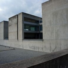
Shoji Ueda Museum of Photography
23.5 km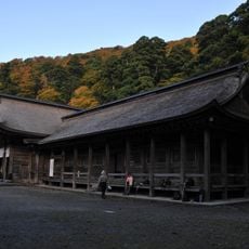
Ōgamiyama Shrine
20.6 km
Hiruzen Kōgen Center
11.8 km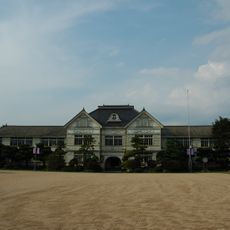
Hall of former Senkyo Primary School
22.5 km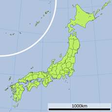
Atetsu Dai
23.4 km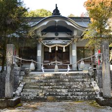
Himesaka Kanachiana-jinja
25.2 km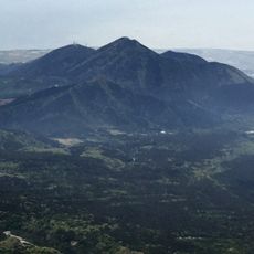
Mount Korei
27 km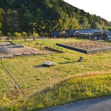
Kamiyodo Haiji
29.7 km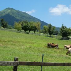
Hiruzen Jersey Land
13.7 km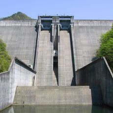
Matanoagawa Dam
8.9 km
Stadt- und Zentralbibliothek Maniwa
17.7 km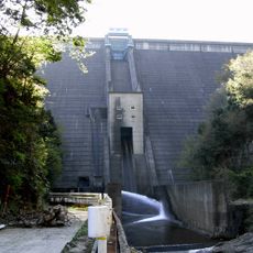
Sugesawa Dam
22.3 km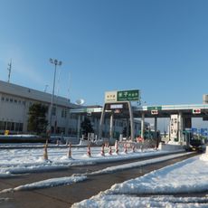
Yonago toll gate
28.2 km
Kamiyodo Hakuhō-no-Oka Exhibition Hall
29.7 km
Fukuichi Site
28.1 km
Hishio
18 km
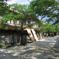
Torikai Residence
25.2 km
大山トム・ソーヤ牧場
27.3 km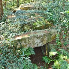
Chōjaganaru Kofun
29.7 km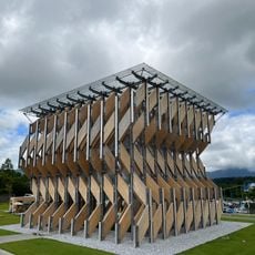
真庭市蒜山ミュージアム
11.9 km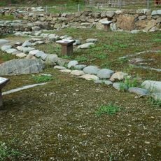
Katsuyama Castle
17.6 kmReviews
Visited this place? Tap the stars to rate it and share your experience / photos with the community! Try now! You can cancel it anytime.
Discover hidden gems everywhere you go!
From secret cafés to breathtaking viewpoints, skip the crowded tourist spots and find places that match your style. Our app makes it easy with voice search, smart filtering, route optimization, and insider tips from travelers worldwide. Download now for the complete mobile experience.

A unique approach to discovering new places❞
— Le Figaro
All the places worth exploring❞
— France Info
A tailor-made excursion in just a few clicks❞
— 20 Minutes