Enable Location

We need your location to show you interesting places around you

Discover nearby places

Find interesting locations and hidden gems around you

Precise directions

Get accurate directions and distances to places

Your location is never shared with other users. It's only used when you tap the location button.

Seiro

Log in to your account

Start exploring — it's free

Trusted by 63,102 travelers worldwide

Continue with Google
Continue with Apple
or

We will send you a code to connect

By continuing, you accept our Terms and Conditions and our Privacy Policy

Check your inbox

We've sent a pincode in your inbox. Please enter the code below.

Discussion Reviews 1 Photos
26.5k Popularity

Seiro, Town district in Kitakanbara, Japan

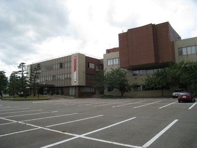
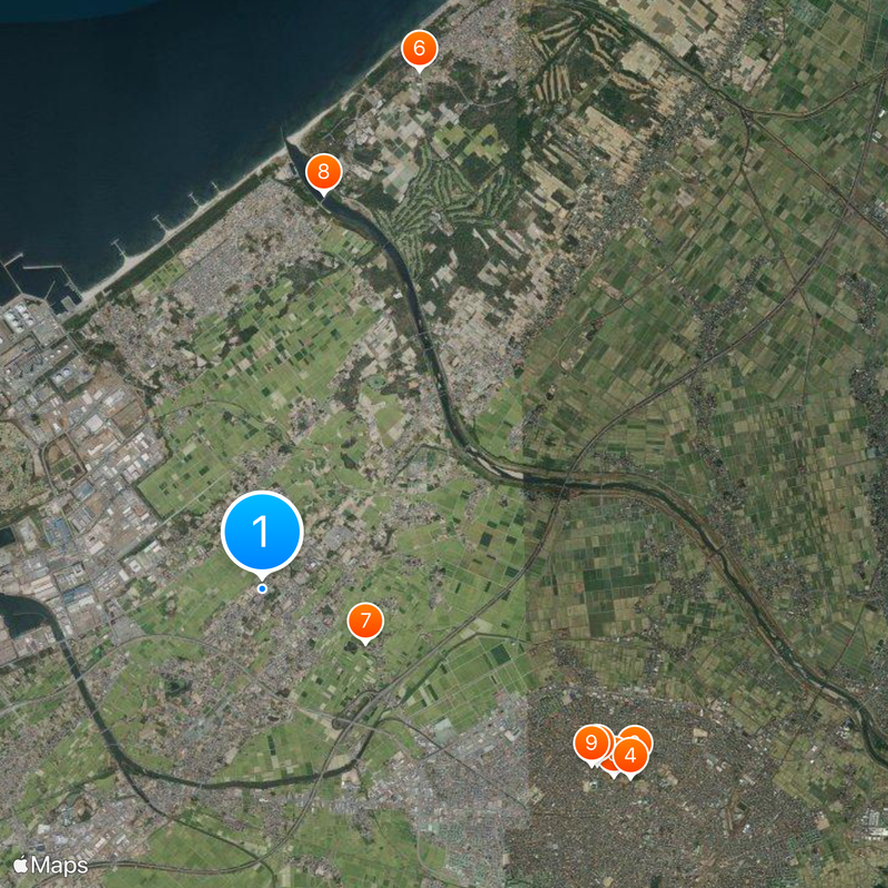
Seiro is a town district in Niigata Prefecture located between Niigata and Shibata cities with access to a coastline along the Sea of Japan. The area spans roughly 38 square kilometers and includes three elementary schools, one middle school, and connects to major routes through expressways and national roads.

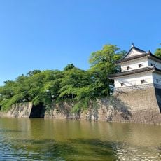
The region began as a fishing village before becoming an administrative area during the Meiji period. It received formal establishment as a town on April 1, 1889.

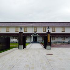
Rice farming has shaped how people here live and work together through the decades. Local celebrations throughout the year show traditions that remain an important part of community life today.

The town is well connected through the Nihonkai-Tohoku Expressway and National Routes 7 and 113, making it accessible by car. Schools and services are distributed throughout the area for local residents and visitors.

The Higashi-Niigata Thermal Power Station stands as a major industrial landmark that transformed the local economy from fishing to modern energy production. This facility remains one of the most visible features of the town's contemporary development.

The community of curious travelers

AroundUs brings together thousands of curated places, local tips, and hidden gems, enriched daily by 60,000 contributors worldwide.

Start exploring
Inception
April 1, 1889
Reference
153079
Shares border with
Niigata, Shibata
GPS coordinates
37.97453,139.27425
Latest update
December 20, 2025 14:58
Reviews
Share your experience

No review yet

Discussions
Start a discussion...

No discussion yet

« Seiro - Town district in Kitakanbara, Japan » is provided by Around Us (aroundus.com). Images and texts are derived from Wikimedia project under a Creative Commons license. You are allowed to copy, distribute, and modify copies of this page, under the conditions set by the license, as long as this note is clearly visible.

Discover hidden gems everywhere you go!

From secret cafés to breathtaking viewpoints, skip the crowded tourist spots and find places that match your style. Our app makes it easy with voice search, smart filtering, route optimization, and insider tips from travelers worldwide. Download now for the complete mobile experience.

Around Us App Screenshot

A unique approach to discovering new places

Le Figaro

All the places worth exploring

France Info

A tailor-made excursion in just a few clicks

20 Minutes

Around Us
Travel Guide & Maps
Download

Send to your phone

QR Code
1

Open the camera app on your mobile.

2

Point at the QR code with your camera. A notification will appear.

3

Tap the notification to open the link.