Enable Location

We need your location to show you interesting places around you

Discover nearby places

Find interesting locations and hidden gems around you

Precise directions

Get accurate directions and distances to places

Your location is never shared with other users. It's only used when you tap the location button.

Hamatonbetsu

Log in to your account

Start exploring — it's free

Trusted by 62,417 travelers worldwide

Continue with Google
Continue with Apple
or

We will send you a code to connect

By continuing, you accept our Terms and Conditions and our Privacy Policy

Check your inbox

We've sent a pincode in your inbox. Please enter the code below.

Hamatonbetsu, Coastal town in Soya Subprefecture, Japan

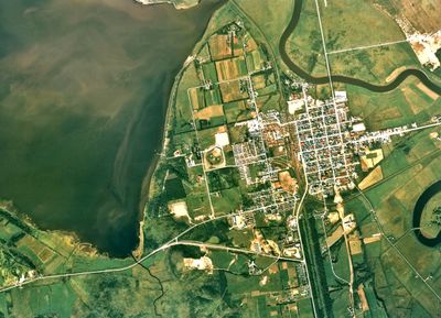
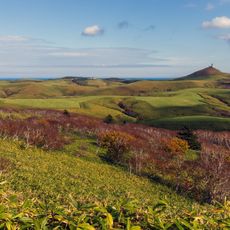
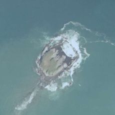
Hamatonbetsu is a coastal town in Hokkaido that stretches across wetland areas along the Sea of Okhotsk and mountainous terrain inland. The landscape is defined by Lake Kutcharo, which sits at the center and shapes the surrounding environment.

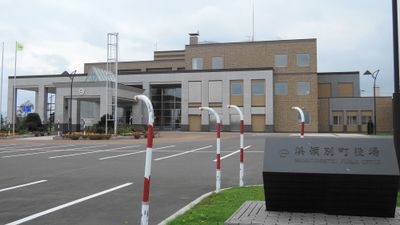
The name derives from the Ainu language and means river entering lake, reflecting the area's geography. The town received its current form during a municipal administrative reorganization in the 1950s.

Lake Kutcharo serves as a vital stopover for migratory birds, drawing observers who come to watch hundreds of species pass through each year. This role shapes how locals and visitors experience the landscape around them.

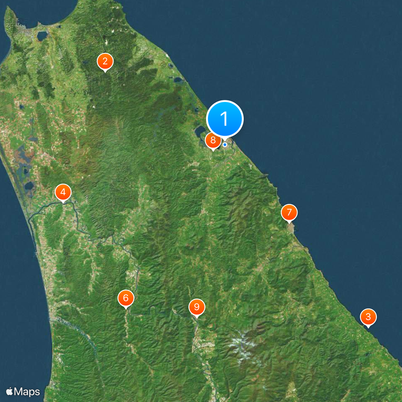
Two national highways connect the town to surrounding areas and serve as the main transportation routes through the region. Having a car is practical here, as the road network is the primary way to move around and access local services.

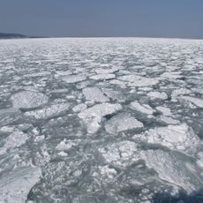
During winter months, drift ice forms along the Sea of Okhotsk coast, creating a constantly shifting ice landscape that changes daily. Local fisheries harvest substantial catches of scallops and salmon from these cold waters, which shape the region's economy.

The community of curious travelers

AroundUs brings together thousands of curated places, local tips, and hidden gems, enriched daily by 60,000 contributors worldwide.

Start exploring
Location
Inception
April 1, 1916
Reference
015121
Shares border with
Esashi, Nakatonbetsu, Horonobe, Sarufutsu
GPS coordinates
45.12378,142.35978
Latest update
December 20, 2025 14:56
« Hamatonbetsu - Coastal town in Soya Subprefecture, Japan » is provided by Around Us (aroundus.com). Images and texts are derived from Wikimedia project under a Creative Commons license. You are allowed to copy, distribute, and modify copies of this page, under the conditions set by the license, as long as this note is clearly visible.

Discover hidden gems everywhere you go!

From secret cafés to breathtaking viewpoints, skip the crowded tourist spots and find places that match your style. Our app makes it easy with voice search, smart filtering, route optimization, and insider tips from travelers worldwide. Download now for the complete mobile experience.

Around Us App Screenshot

A unique approach to discovering new places

Le Figaro

All the places worth exploring

France Info

A tailor-made excursion in just a few clicks

20 Minutes

Around Us
Travel Guide & Maps
Download

Send to your phone

QR Code
1

Open the camera app on your mobile.

2

Point at the QR code with your camera. A notification will appear.

3

Tap the notification to open the link.