Batken, city in Kyrgyzstan
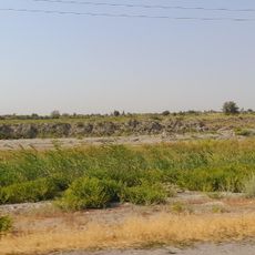
Batken is a small city in southwestern Kyrgyzstan serving as the capital of the region's administrative center. It sits near borders with Uzbekistan and Tajikistan and is encircled by mountain ranges that define the surrounding landscape.
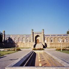
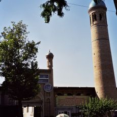
The city developed as an administrative hub of Kyrgyzstan's youngest region after border realignment. The area forms part of the historic Fergana Valley, an ancient center of trade routes and settlements whose remains and archaeological sites are still visible today.
Batken derives its significance from being a meeting point of diverse cultures in the Fergana Valley with deep-rooted traditions. Visitors observe traditional carpet weaving with geometric patterns made from natural dyes, family-run guesthouses, and how locals maintain strong ties to the land and seasonal celebrations like the Aigul flower bloom.
The city is best reached from Bishkek via shared taxis or flights, with driving taking around 20 hours or flights available several times weekly. Basic accommodations such as family-run guesthouses and rental apartments provide visitors various lodging options, and the area has quiet, safe natural spots suitable for camping.
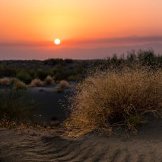
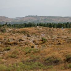
The Aigul flower blooms for only about two weeks in April and grows only in this region, with local legend connecting its origin to a tragic love story. The Muz-Bulak eco-park was created by a local writer to protect this rare plant and the surrounding nature from further damage.
The community of curious travelers
AroundUs brings together thousands of curated places, local tips, and hidden gems, enriched daily by 60,000 contributors worldwide.