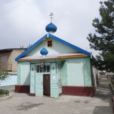
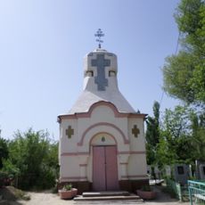
Syr Darya, Central Asian river system between Kazakhstan and Uzbekistan.
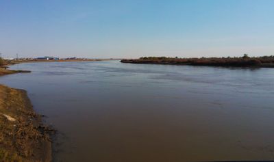
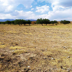
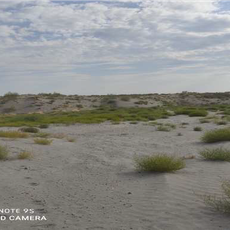
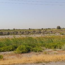
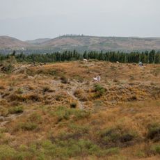
The Syr Darya is a Central Asian river system that stretches 2,256 kilometers from the Tian Shan Mountains through Kyrgyzstan, Uzbekistan, Tajikistan, and Kazakhstan to the Aral Sea. Its course passes through valleys and plains, supplying water to numerous towns and farming areas along its route.
Ancient Greek texts called this waterway Jaxartes, and it marked an important boundary during Alexander the Great's campaigns in Central Asia in the fourth century before Christ. The Silk Road followed its banks for centuries, linking trade routes between East and West.
Locals use water from this river through networks of irrigation channels that have enabled farming in dry plains for centuries. Fishermen work along the banks and sell their catches at local markets, while villages maintain old water-sharing traditions.
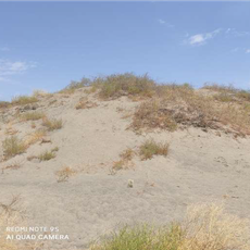
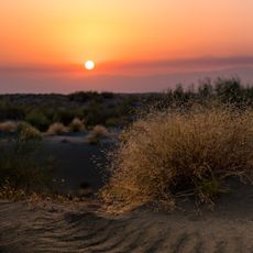
The best period for a visit runs from April through November when water flows freely and the banks remain accessible. Winter months bring ice to the lower sections, making some riverside areas impassable.
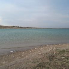
Water in this channel carries large amounts of silt, giving it a brownish color in some places. The flow rate changes considerably throughout the year, depending on snowmelt and irrigation withdrawals.
The community of curious travelers
AroundUs brings together thousands of curated places, local tips, and hidden gems, enriched daily by 60,000 contributors worldwide.