
Tashkömür, town in Kyrgyzstan
Location: Jalal-Abad Region
Elevation above the sea: 585 m
GPS coordinates: 41.34532,72.22064
Latest update: March 22, 2025 18:44

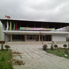
Osh State Academic Uzbek Music and Drama Theater named after Babur
102.2 km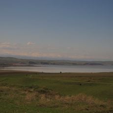
Kempir-Abad reservoir
99.6 km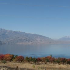
Toktogul Reservoir
74.8 km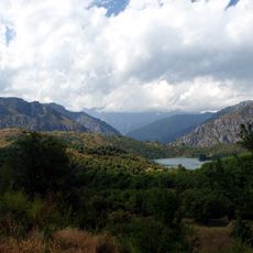
Sary-Chelek Nature Reserve
60.4 km
Padyshata State Nature Reserve
68.2 km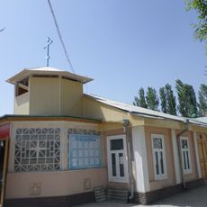
Church in Andijan
66.7 km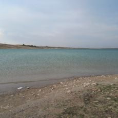
Karkidon Reservoir
100.6 km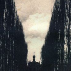
Church of St. Archangel Michael in Namangan 1894
60.2 km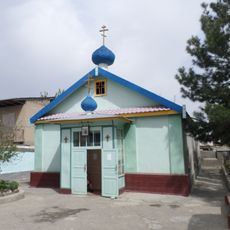
Church of St. Archangel Michael in Namangan 1952
59.1 km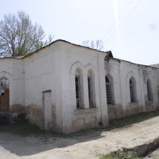
Church of St. Nicholay Chudotvortsa in Andijan
66.6 km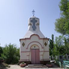
Chapel of St. George in Andijan
66.8 km
Akbarobod natural monument
99.3 km
Chust natural monument
96.3 km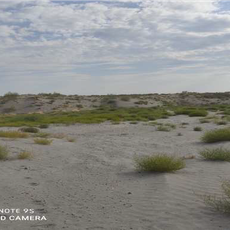
Mingbulak natural monument
97.1 km
Church of St. Sergiy Radonezhckogo in Andijan
66.1 km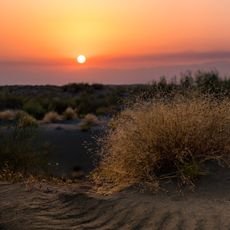
Yazyavan natural monument
96 km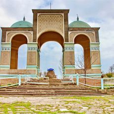
Shah Fazil Mausoleum
47.8 km
Rodnik Kara-Bulak (tubud sa Kirgistan, Jalal-Abad oblast, lat 41,17, long 72,69)
44.1 km
Ak-Kur
68.7 km
Rodnik Sasyk-Bulak (tubud sa Kirgistan, Jalal-Abad oblast, lat 41,14, long 72,81)
54.4 km
Akkurgan
68.5 km
Rodnik Burzhu-Bulak
15.1 km
Rodnik Kara-Suu
90.9 km
Rodnik Kara-Bulak (tubud sa Kirgistan, Jalal-Abad oblast, lat 41,61, long 71,99)
34.8 km
Rodnik Kosh-Bulak
11.9 km
Aryk Yangi
95.9 km
Rodnik Kayragach-Bulak
39.2 km
Rodnik Sasyk-Bulak (tubud sa Kirgistan, Jalal-Abad oblast, lat 41,25, long 72,90)
57.8 kmReviews
Visited this place? Tap the stars to rate it and share your experience / photos with the community! Try now! You can cancel it anytime.
Discover hidden gems everywhere you go!
From secret cafés to breathtaking viewpoints, skip the crowded tourist spots and find places that match your style. Our app makes it easy with voice search, smart filtering, route optimization, and insider tips from travelers worldwide. Download now for the complete mobile experience.

A unique approach to discovering new places❞
— Le Figaro
All the places worth exploring❞
— France Info
A tailor-made excursion in just a few clicks❞
— 20 Minutes