
Kosan County, county of North Korea
Location: Kangwon Province
Inception: December 1952
GPS coordinates: 38.90278,127.42389
Latest update: March 13, 2025 12:17
Mount Kumgang Tourist Region
71.5 km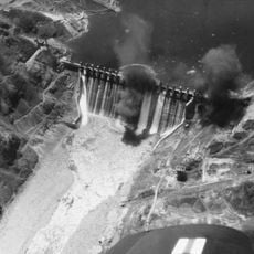
Hwacheon Dam
92.7 km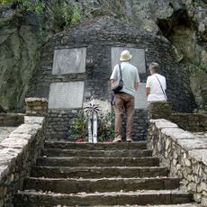
Gloucester Valley Battle Monument
114.9 km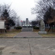
Gapyeong Canada Monument
114.6 km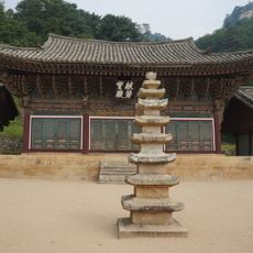
Pyohunsa
63.6 km
Sogwangsa
10.1 km
Singyesa
69.9 km
Yeoninsan
111.8 km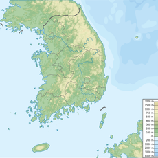
Daeamsan
98.8 km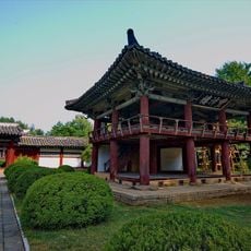
Hamhung Royal Villa
105 km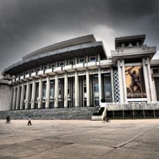
Hamhung Grand Theatre
113.1 km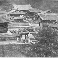
Yujomsa
73.5 km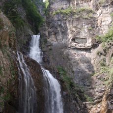
Ullim Falls
41.3 km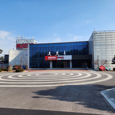
Animation Museum
114.8 km
Songdowŏn
31.4 km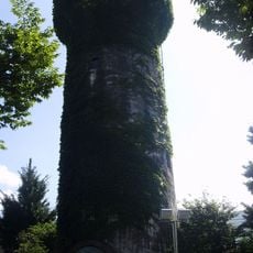
Water Tower at Yeoncheon Station
94.3 km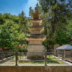
현등사 삼층석탑
115.2 km
Soyosan
110.9 km
Pukmang Tower
28.6 km
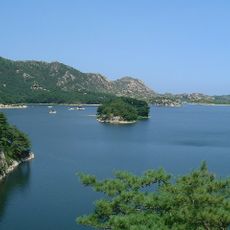
Pongnae-ho
58.3 km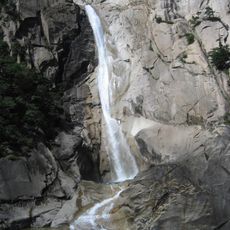
Kuryong-yŏn
67.1 km
Chuktae-ho
71.7 km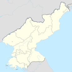
Sindang-jŏsuji
63.7 km
Puch'ŏn-jŏsuji
3.4 km
Pongdŏk-chŏsuji
34.4 km
Kamdun-jŏsuji
49.5 km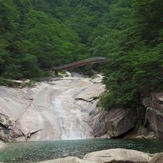
Horyong-bong (tumoy sa bukid sa Amihanang Korea)
70.7 km
Sanbuk-chŏsuji
80.6 kmReviews
Visited this place? Tap the stars to rate it and share your experience / photos with the community! Try now! You can cancel it anytime.
Discover hidden gems everywhere you go!
From secret cafés to breathtaking viewpoints, skip the crowded tourist spots and find places that match your style. Our app makes it easy with voice search, smart filtering, route optimization, and insider tips from travelers worldwide. Download now for the complete mobile experience.

A unique approach to discovering new places❞
— Le Figaro
All the places worth exploring❞
— France Info
A tailor-made excursion in just a few clicks❞
— 20 Minutes