Geography of North Korea, Geographic region in Korean Peninsula, North Korea.
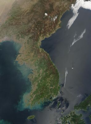
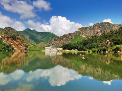
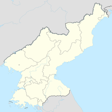
The geography of North Korea covers the northern half of the Korean Peninsula and includes dense mountain ranges, narrow river valleys, and a slim coastal plain along the Sea of Japan. Paektu stands as the highest peak in the region, rising 2,743 meters (8,999 feet) above sea level near the Chinese border.
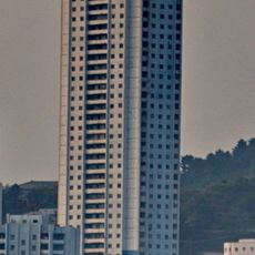
After the division of the Korean Peninsula in 1945, the territory north of the 38th parallel became a Soviet occupation zone. The founding of North Korea in 1948 brought centralized control over land and resources that continues today.
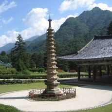
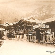
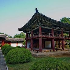
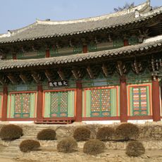
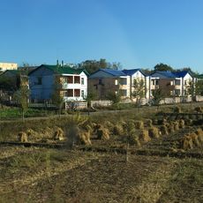
The geography influences traditional Korean celebrations, with mountain temples serving as centers for Buddhist practices and seasonal agricultural festivals.
Winters are especially cold in the northern areas, where temperatures can drop to minus 23°C (minus 9°F), while summer months bring warm rain from the monsoon. Most rainfall occurs between June and September, when humidity rises.
The demilitarized zone between North and South Korea has unintentionally become a nature reserve where endangered species like the Amur leopard and Korean tiger live. This 155-mile (250-kilometer) buffer zone remains one of the best-preserved temperate zones in Asia, having been largely untouched by human activity for decades.
The community of curious travelers
AroundUs brings together thousands of curated places, local tips, and hidden gems, enriched daily by 60,000 contributors worldwide.