
Maebong-san, Berggipfel in Nordkorea
Location: South Hwanghae Province
GPS coordinates: 38.08722,125.66583
Latest update: June 28, 2025 12:38

Sinchon Museum of American War Atrocities
33.6 km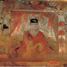
Anak Tomb No. 3
42.6 km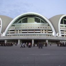
Sariwon Youth Stadium
46.3 km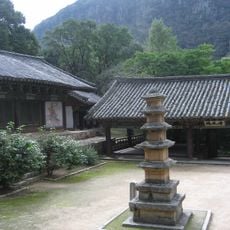
Songbulsa
55.4 km
Puyongdang
5.9 km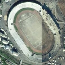
Haeju Stadium
7.5 km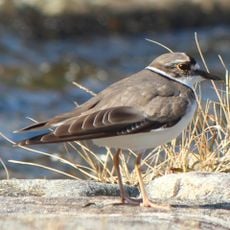
Ongjin Bay Important Bird Area
45 km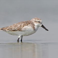
Kangryong Field
21.6 km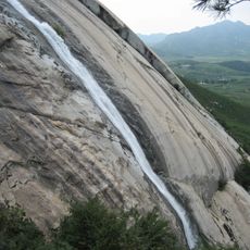
Cascadas de Suyangsan
8.8 km
Sudong-jŏsuji
26.9 km
Sŏktam-jŏsuji
10.3 km
Sŏnam-jŏsuji
21.4 km
Ŏch'ŏn-jŏsuji
43.1 km
Yeŭi-jŏsuji
47.3 km
Unbong-jŏsuji
59.4 km
Nambumyŏn-jŏsuji
29.7 km
Pogu-jŏsuji
35.3 km
Pogu-jŏsuji
34.3 km
Sangjwa-jŏsuji
56.1 km
Sin'gwang-jŏsuji
2.6 km
Kuam-ho
30.8 km
Kangnyŏng-chŏsuji
19.2 km
Kwangmyŏng-jŏsuji
22.3 km
Myŏngsu-jŏsuji
24.2 km
Wŏlch'on-jŏsuji
62.7 km
Ŭndong-jŏsuji
31.9 km
Ŭnp'a-ho
25 km
Changsu-ho
15.1 kmReviews
Visited this place? Tap the stars to rate it and share your experience / photos with the community! Try now! You can cancel it anytime.
Discover hidden gems everywhere you go!
From secret cafés to breathtaking viewpoints, skip the crowded tourist spots and find places that match your style. Our app makes it easy with voice search, smart filtering, route optimization, and insider tips from travelers worldwide. Download now for the complete mobile experience.

A unique approach to discovering new places❞
— Le Figaro
All the places worth exploring❞
— France Info
A tailor-made excursion in just a few clicks❞
— 20 Minutes