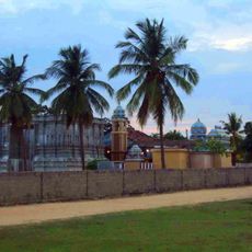
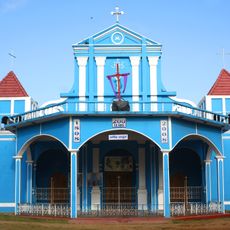
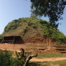
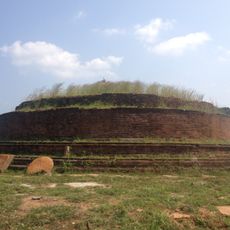
Lahugala, town in Ampara District, Sri Lanka
Location: Ampara District
Location: Lahugala Divisional Secretariat
GPS coordinates: 6.88690,81.72160
Latest update: March 5, 2025 23:25
Kiri Vehera
28.2 km
Muhudu maha vihara
13 km
Magul Maha Viharaya
2.7 km
Ukanthamalai Murugan Kovil
26.8 km
Thirukkovil Temple
30.9 km
Thambiluvil Sri Kannaki amman temple
30.9 km
St. Mary's Cathedral, Batticaloa
19.6 km
Neelagiriseya
4.6 km
Lahugala Kota Vehera
3.6 km
Lahugala Kiri Vehera
1.9 km
Uththara Jayamaha Vihara
37.6 km
Muthukandiya Tank
26.8 km
Pasarchenal
13.5 km
Viharegala Rock Cave
28 km
Jayanthi Wewa
32.7 km
Ambalam Oya Reservoir
29.9 km
Ekgal Aru Reservoir
33.1 km
Kumana Wewa
38.2 km
Mandiyawala Kulam
21.4 km
Kadalanchiya
30.4 km
Kangikudichchara Kulam
17.8 km
Koraikalapu Kulam
26.6 km
Lenamapokuna
26.3 km
Naulla Wewa
11.8 km
Pannelagama Reservoir
23.7 km
Periya Kulam
28.3 km
Sengamuwa Wewa
4.2 km
Kudumbigala Monastery
24.2 kmVisited this place? Tap the stars to rate it and share your experience / photos with the community! Try now! You can cancel it anytime.
Discover hidden gems everywhere you go!
From secret cafés to breathtaking viewpoints, skip the crowded tourist spots and find places that match your style. Our app makes it easy with voice search, smart filtering, route optimization, and insider tips from travelers worldwide. Download now for the complete mobile experience.
A unique approach to discovering new places❞
— Le Figaro
All the places worth exploring❞
— France Info
A tailor-made excursion in just a few clicks❞
— 20 Minutes