
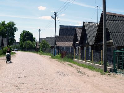
Rūdninkai, village in Šalčininkai District Municipality, Lithuania
Location: Šalčininkai District Municipality
GPS coordinates: 54.43720,25.15170
Latest update: April 2, 2025 16:21
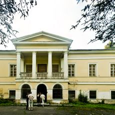
Jašiūnai Manor
9.5 km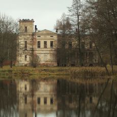
Baltoji Vokė Łęski manor
18.1 km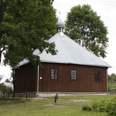
Mosque in Keturiasdešimt Totorių
14 km
Peteša Manor
19.1 km
Church of the Conversion of St. Paul in Vaidotai
18.5 km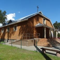
Blessed Michał Sopoćko church in Juodšiliai
17.6 km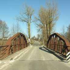
Kazbiejai bridge
19.8 km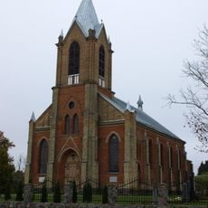
Parudaminys church
12.2 km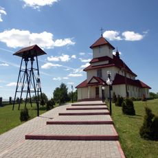
Church of St. Anne, Jašiūnai
11 km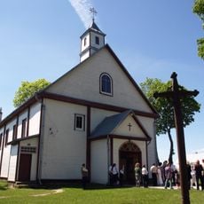
Church of the Holy Trinity, Rūdninkai
590 m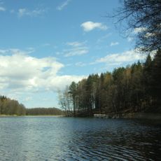
Ilgutis Botanical Reserve
19.9 km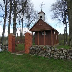
Chapel, Sangėliškės
20.1 km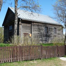
Skurbutėnai Chapel
12.9 km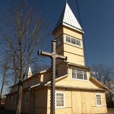
Church of St. John the Baptist, Paluknys
12.9 km
Vokė Geomorphological Reserve
19.9 km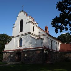
Church of the Assumption, Pabarė
18.8 km
Kiaulėkų piliakalnis
19.1 km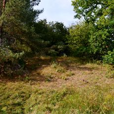
Tetervinų piliakalnis
14.9 km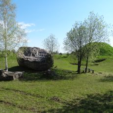
Rezius
20 km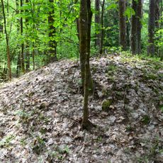
Category:Pabarė tumuli
17.8 km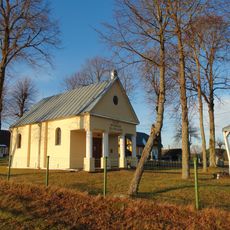
Gojus chapel
17.2 km
Vaidotų piliakalnis
17.3 km
Church of St. George, Šalčininkėliai
16.3 km
Cegelnios akmuo
20.1 km
Marijampolio akmuo
15.3 km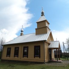
Old Believers Church in Gojus
11.2 km
Chapel, Tetėnai
19 km
Senųjų Macelių pilkapynas
7.8 kmReviews
Visited this place? Tap the stars to rate it and share your experience / photos with the community! Try now! You can cancel it anytime.
Discover hidden gems everywhere you go!
From secret cafés to breathtaking viewpoints, skip the crowded tourist spots and find places that match your style. Our app makes it easy with voice search, smart filtering, route optimization, and insider tips from travelers worldwide. Download now for the complete mobile experience.

A unique approach to discovering new places❞
— Le Figaro
All the places worth exploring❞
— France Info
A tailor-made excursion in just a few clicks❞
— 20 Minutes