Kubilėlių gyvenvietė, archaeological site in Šakiai District Municipality, Lithuania
Location: Šakiai District Municipality
GPS coordinates: 54.80556,22.88611
Latest update: March 25, 2025 01:14

Paežeriai Manor
19.4 km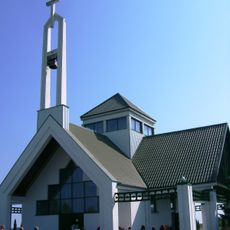
Keturnaujiena chapel
5.2 km
Vilkaviškis Cathedral
19.8 km
Church of the Discovery of the Holy Cross in Kudirkos Naumiestis
3.6 km
Church of the transfiguration of Jesus Christ in Griškabūdis
19 km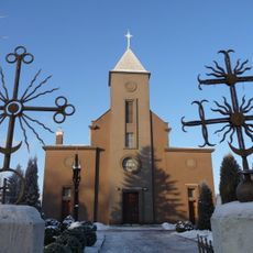
Church of St. John the Baptist, Šakiai
19.5 km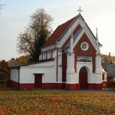
Church of St. Anne, Alvitas
18.8 km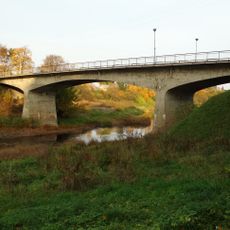
Vinco Kudirkos tiltas
3.4 km
Mažučių koplyčia
18.6 km
Evangelical Lutheran Church in Šakiai
18.9 km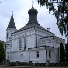
Church of the Holy Cross, Vilkaviškis
20.2 km
Church of the Assumption, Sintautai
10.8 km
Church of Christ the King, Barzdai
20.1 km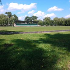
Vilkaviškis city stadium
18.8 km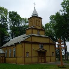
Church of the Assumption, Alksnėnai
17.7 km
Church of St. Anne, Slavikai
18.8 km
Rathaus Šakiai
19.6 km
Church of the Sacred Heart of Jesus in Žvirgždaičiai
9.2 km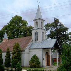
Church of St. Roch in Žalioji
10.8 km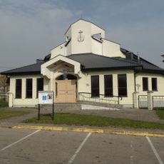
Kybartų Naujoji apaštalų bažnyčia
20.2 km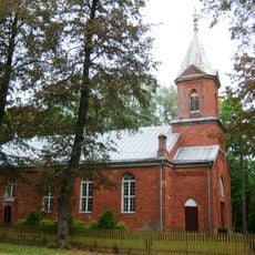
Church of St. Pope Leo II, Didvyžiai
13 km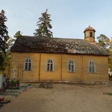
Kudirkos Naumiesčio katalikų koplyčia
2.9 km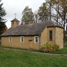
Church of Saint Mary of the Angels, Valakbūdis
14.1 km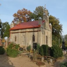
Kudirkos Naumiestis cemetery chapel
3.1 km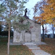
Kudirkos Naumiestis orthodox chapel
4.2 km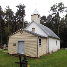
Gražiškiai chapel
17.1 km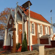
Alvitas Gauronskiai chapel
18.8 km
Slabadai chapel
8.1 kmReviews
Visited this place? Tap the stars to rate it and share your experience / photos with the community! Try now! You can cancel it anytime.
Discover hidden gems everywhere you go!
From secret cafés to breathtaking viewpoints, skip the crowded tourist spots and find places that match your style. Our app makes it easy with voice search, smart filtering, route optimization, and insider tips from travelers worldwide. Download now for the complete mobile experience.

A unique approach to discovering new places❞
— Le Figaro
All the places worth exploring❞
— France Info
A tailor-made excursion in just a few clicks❞
— 20 Minutes