
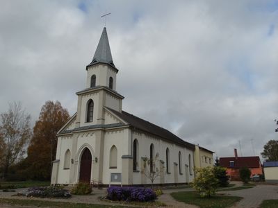
Evangelical Lutheran Church in Šakiai, church building in Šakiai District Municipality, Lithuania
Location: Šakiai District Municipality
GPS coordinates: 54.95427,23.02766
Latest update: September 25, 2025 07:40

Raudonė Castle
17.2 km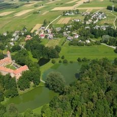
Panemunė Castle
16.4 km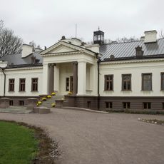
Gelgaudiškis Manor
14.2 km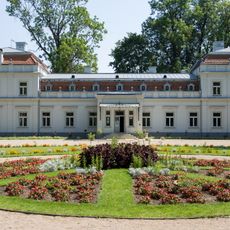
Zypliai Manor
10.7 km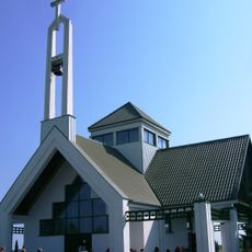
Keturnaujiena chapel
13.8 km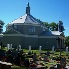
Church of the transfiguration of Jesus Christ in Griškabūdis
14.8 km
Church of St. John the Baptist, Šakiai
1.1 km
Bisenė
16.5 km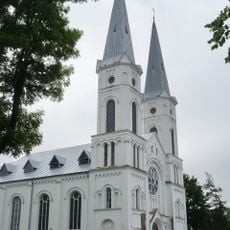
Church of the Assumption, Sintautai
8.5 km
Gelgaudų ąžuolas
16.3 km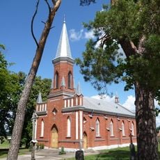
Church of the Exaltation of the Holy Cross, Gelgaudiškis
14.6 km
Maštaičiai hillfort
15.7 km
Gediminaičio ąžuolas
17.1 km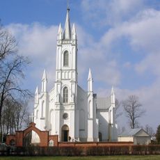
Church of St. Joseph, Lukšiai
9 km
Raudonės liepa
17.2 km
Plokščiai hillfort
16.8 km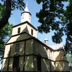
Church of the Holy Name of the Virgin Mary, Plokščiai
17 km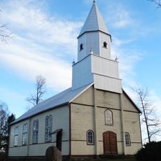
Evangelical Lutheran Church in Skirsnemunė
16.7 km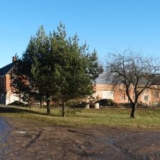
Zamkaus dvaras
16.5 km
Raudonės juodoji tuopa
17 km
Rathaus Šakiai
1 km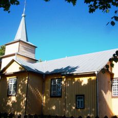
Church of the Holy Guardian Angels, Paluobiai
16.9 km
Zypliai oak
11 km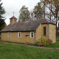
Church of Saint Mary of the Angels, Valakbūdis
9.2 km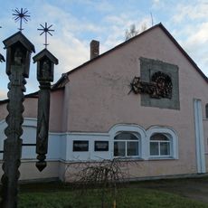
Salesian chapel, Vytėnai
16.5 km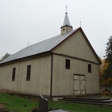
Chapel in Plieniškiai
5 km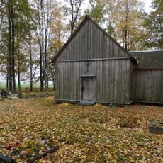
Šilgaliai chapel
11.2 km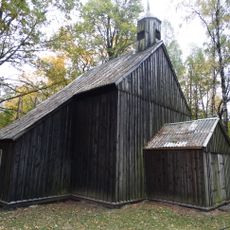
Staliorių koplyčia
16.4 kmVisited this place? Tap the stars to rate it and share your experience / photos with the community! Try now! You can cancel it anytime.
Discover hidden gems everywhere you go!
From secret cafés to breathtaking viewpoints, skip the crowded tourist spots and find places that match your style. Our app makes it easy with voice search, smart filtering, route optimization, and insider tips from travelers worldwide. Download now for the complete mobile experience.

A unique approach to discovering new places❞
— Le Figaro
All the places worth exploring❞
— France Info
A tailor-made excursion in just a few clicks❞
— 20 Minutes