
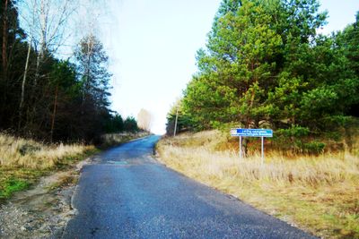
Lapiai Geomorphological Reserve
Location: Kaunas District Municipality
GPS coordinates: 54.99417,24.05556
Latest update: September 25, 2025 07:40

Kaunas Free Economic Zone
6.7 km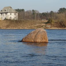
Gaidelis boulder
2.8 km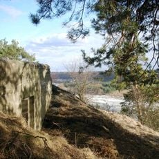
Lentainių piliakalnis
7.8 km
Good Shepherd church, Dainava
8.9 km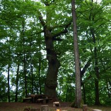
Mažieji Žinėnai hillfort
4.3 km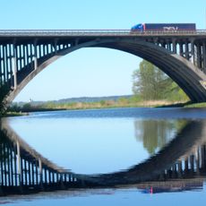
Kruna viaduct
9.5 km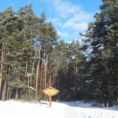
Kleboniškis park
8.5 km
Stavidvaris outcrop
3.2 km
Kauno Naujoji apaštalų bažnyčia
9.1 km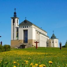
Church in Domeikava
8.8 km
UAB Aviabaltika
2.7 km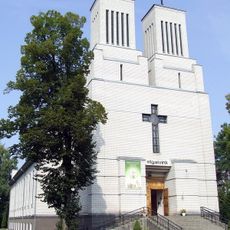
Church of Holy Virgin Mary the Queen of the Rosary, Palemonas
9.3 km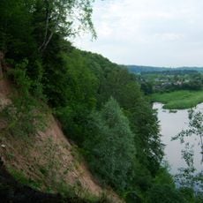
Andruškoniai
4.3 km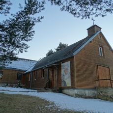
Church of St. Anne, Karmėlava
2.4 km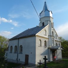
Church of St. John the Baptist, Lapės
3.7 km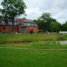
Satiju
3.4 km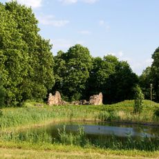
Lapės manor
3.9 km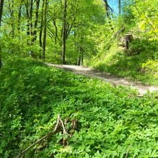
Karmėlava Hillfort
2.4 km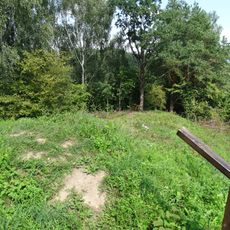
Lepšiškiai Hillfort
1 km
Šančiai Hillfort
306 m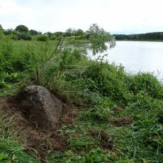
Valiūnas (akmuo)
7.3 km
Naujasodis Hillfort
7.2 km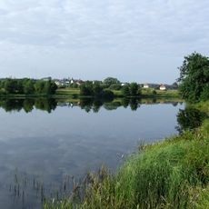
Užusalių tvenkinys
8.8 km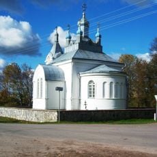
Orthodox church in Užusaliai
8.8 km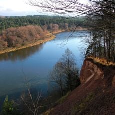
Kulva Geomorphologic Reserve
9 km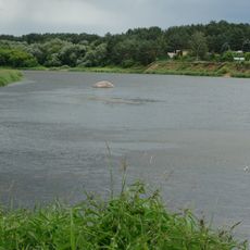
Mykoliškių akmuo
6.3 km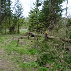
Daukliūnai stone
5.8 km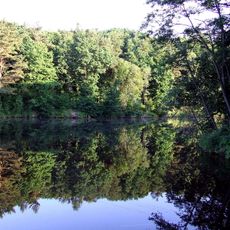
Ramučių tvenkinys
3.9 kmReviews
Visited this place? Tap the stars to rate it and share your experience / photos with the community! Try now! You can cancel it anytime.
Discover hidden gems everywhere you go!
From secret cafés to breathtaking viewpoints, skip the crowded tourist spots and find places that match your style. Our app makes it easy with voice search, smart filtering, route optimization, and insider tips from travelers worldwide. Download now for the complete mobile experience.

A unique approach to discovering new places❞
— Le Figaro
All the places worth exploring❞
— France Info
A tailor-made excursion in just a few clicks❞
— 20 Minutes