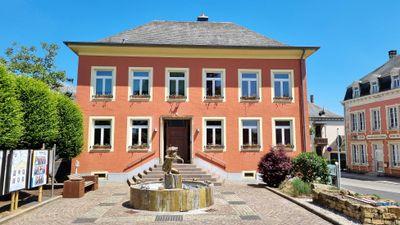
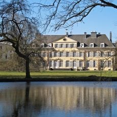
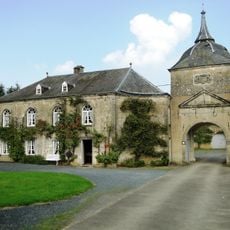
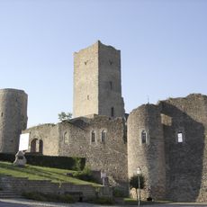
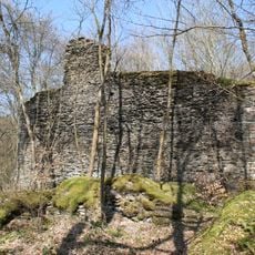
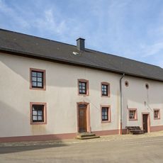
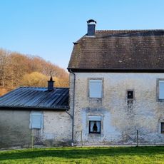
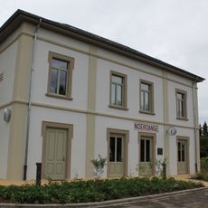
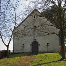
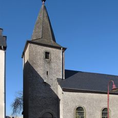
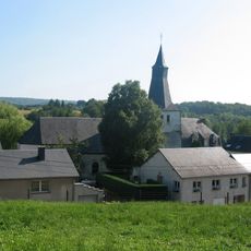
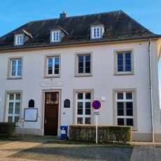
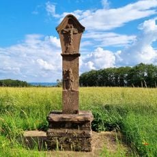
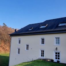
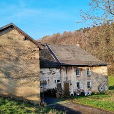
Redange, commune in Luxembourg
Location: Canton of Redange
Capital city: Redange-sur-Attert
Elevation above the sea: 290 m
Website: https://www.redange.lu
Shares border with: Rambrouch, Préizerdaul, Useldange, Beckerich, Ell
Website: https://redange.lu
GPS coordinates: 49.76520,5.88936
Latest update: March 4, 2025 19:53
Wahl
7.9 km
Colpach Castle
4.7 km
Guirsch Castle
5.7 km
Useldange Castle
6.5 km
Schuerels Castle
7.3 km
Thillenvogtei
9.4 km
40, Angelsgronn
7.1 km
Noerdange train station
3.5 km
Chapelle Les quatre Évangelistes (Schweich)
5.8 km
Chapelle de l'Exaltation-de-la-Sainte-Croix
6 km
Saint Alban chapel in Heckbous
6.5 km
Dräidar zu Iener
6.9 km
Eech zu Kaalmes
7.2 km
Chapelle Saint-Remacle (Ehner)
6.8 km
Chapelle de l'Exaltation-de-la-Sainte-Croix
4.2 km
Weekräiz Hëlzent (CR301)
7.5 km
Monument aux morts an US-Monument zu Näerden
3.7 km
Ancienne église Saint-Étienne
7.5 km
Weekräiz Hëlzent (N12)
7.6 km
Wäschbuer Sëll
7.6 km
Boundary mark LB 132
4.6 km
Boundary mark LB 104
6.2 km
Boundary mark LB 103
7.5 km
Gossemaark LB102
7.8 km
Mairie de Wahl
7.9 km
Géierekräiz
9.3 km
32, Angelsgronn
7.3 km
26, Angelsgronn
7.3 kmReviews
Visited this place? Tap the stars to rate it and share your experience / photos with the community! Try now! You can cancel it anytime.
Discover hidden gems everywhere you go!
From secret cafés to breathtaking viewpoints, skip the crowded tourist spots and find places that match your style. Our app makes it easy with voice search, smart filtering, route optimization, and insider tips from travelers worldwide. Download now for the complete mobile experience.
A unique approach to discovering new places❞
— Le Figaro
All the places worth exploring❞
— France Info
A tailor-made excursion in just a few clicks❞
— 20 Minutes