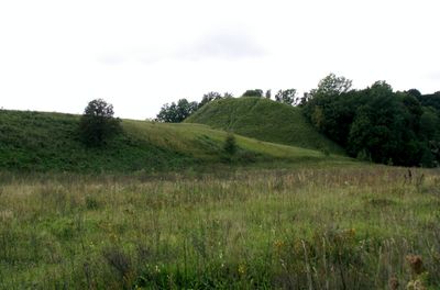
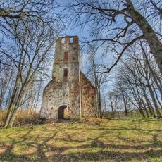
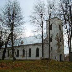
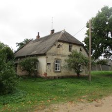
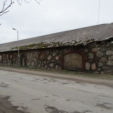
Inčėnų piliakalnis, Archaeological monument in Vītiņi Parish, Latvia.
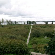
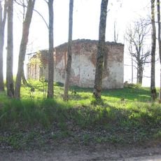
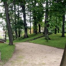
Inčėnų piliakalnis is a trapezoidal hillfort beside the Aviknė River, measuring roughly 220 meters long and up to 160 meters wide. The site stands on elevated ground with varying slopes on different sides.
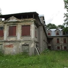
This fortification served as a strategic point for the Zemgale people in the 13th century before the Livonian Order built a castle in the area. It played an important role in early defense of the region against expanding foreign powers.
The name comes from a nearby village called Inčėnai, while Duobė refers to a river confluence in the local Zemgale language.
To reach the site, turn off the P96 road that runs between Ierikiai and Saldus and head directly to the location. The place is fairly easy to access once you find the turning point.
The western slope is noticeably steeper than the eastern side, giving the hillfort an asymmetrical shape. These varying elevation changes shape the landscape and make the natural defensive position especially apparent.
The community of curious travelers
AroundUs brings together thousands of curated places, local tips, and hidden gems, enriched daily by 60,000 contributors worldwide.