
Puša, dorp in Letland
Location: Puša Parish
Elevation above the sea: 170 m
GPS coordinates: 56.24111,27.21389
Latest update: March 3, 2025 18:41

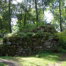
Volkenberga Castle ruins
13 km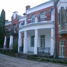
Lūznava Manor
13.2 km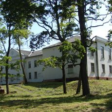
Kameņeca Manor
16.1 km
Reuta kalns - pilskalns
16.2 km
Gorodokas pilskalns
15.7 km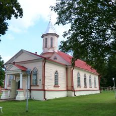
Holy Cross church in Rozentova (Malta), Latvia
11.3 km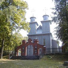
Church of the Providence of God in Bērzgale, Aglona parish
12.1 km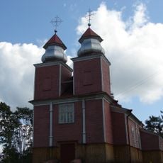
Saint John the Baptist church in Feimaņi
11.3 km
Holy Trinity Roman Catholic church in Puša
1.3 km
Saint Michael Archangel Roman Catholic church in Zosna
12.6 km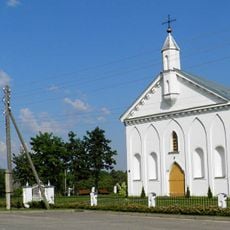
Andrupene St. Virgin Maria Roman Catholic Church
12.8 km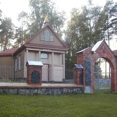
Okra Roman Catholic church
13.6 km
Starodvorjes vecticībnieku lūgšanu nams
12.6 km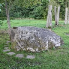
Kameņeca Great Stone
15.5 km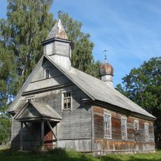
Old Believers church in Maslova
14.2 km
Brīveru Garadkas kalns - pilskalns
14.9 km
Stalidzānu Svilušais kalns (Kara kapi) - pilskalns
11.4 km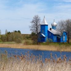
Old Believers Church in Foļvarka
12.8 km
Pušas pilskalns I
1.2 km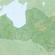
Pušas pilskalns II
949 m
Kapiņu senkapi
13 km
Bērzgales (Biržgaļu) katoļu baznīcas apbūve
12.1 km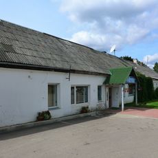
Horse-post station in Malta, Latvia
11.9 km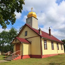
Old believers church in Malta, Latvia
11.9 km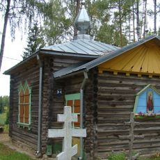
All Saints church in Malta, Latvia
11.8 km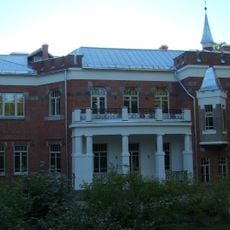
Kungu māja (Jaunā pils)
13.3 km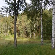
Milkas pilskalns
11 km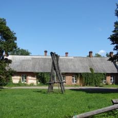
Saimniecības ēka
13.5 kmVisited this place? Tap the stars to rate it and share your experience / photos with the community! Try now! You can cancel it anytime.
Discover hidden gems everywhere you go!
From secret cafés to breathtaking viewpoints, skip the crowded tourist spots and find places that match your style. Our app makes it easy with voice search, smart filtering, route optimization, and insider tips from travelers worldwide. Download now for the complete mobile experience.

A unique approach to discovering new places❞
— Le Figaro
All the places worth exploring❞
— France Info
A tailor-made excursion in just a few clicks❞
— 20 Minutes