
Uguņciems, dorp in Letland
Location: Vandzene Parish
Elevation above the sea: 14 m
GPS coordinates: 57.37750,22.95722
Latest update: May 1, 2025 11:32
Nogale Manor
13.2 km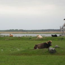
Lake Engure Nature Park
17.5 km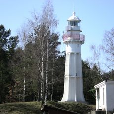
Mērsrags lighthouse
9.9 km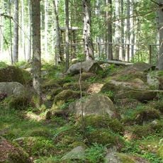
Kaltenes kalvas
11.7 km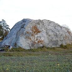
Tilgaļu milzakmens
14.4 km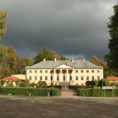
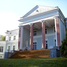
Vandzene Manor
10.8 km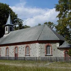
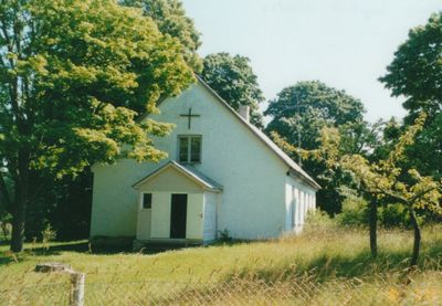
Lutheran church in Kaltene
9.3 km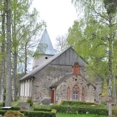
Lutheran church in Roja
17 km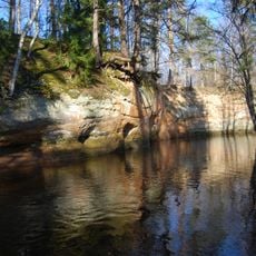
Lūrmaņu klintis
15.6 km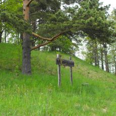
Bašķiņkalns hillfort
16.5 km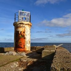
Leuchttürme Roja
17 km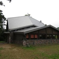
Rojas Svētā apustuļa Andreja Romas katoļu baznīca
17.1 km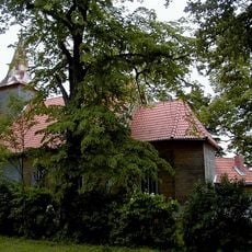
Lutheran church in Iģene
11.8 km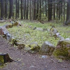
Bīlavu Velna laiva
16.5 km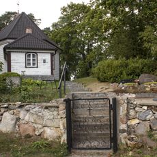
Lutheran church in Mērsrags
10.4 km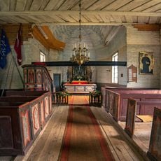
Kancele ar gleznojumiem
11.8 km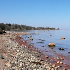
Kaltenes krasta veidojumi
6.9 km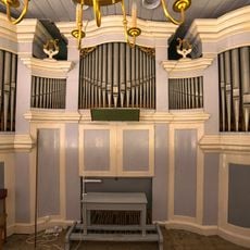
Pipe organ of Lutheran church in Kaltene
9.3 km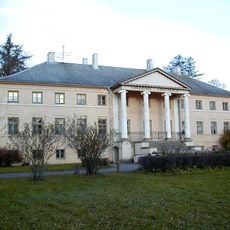
Vandzene Manor House
10.8 km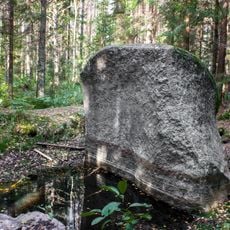
Basu Vilkatu akmens - kulta vieta
1.9 km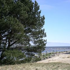
Mersrags
10.2 km
Roja
17.4 km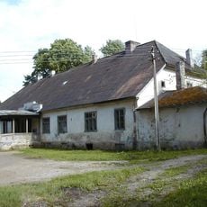
Iģenes muižas kungu māja
11.7 km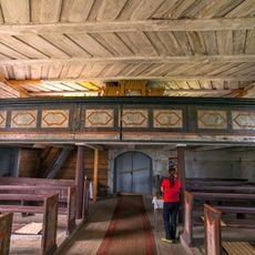
Ērģeļu luktas
11.8 km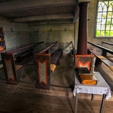
Baznīcēnu soli
11.8 km
Pils
13.2 km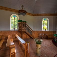
Pulpit of Lutheran church in Kaltene
9.3 km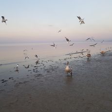
Western coast of the Gulf of Riga
11.1 kmVisited this place? Tap the stars to rate it and share your experience / photos with the community! Try now! You can cancel it anytime.
Discover hidden gems everywhere you go!
From secret cafés to breathtaking viewpoints, skip the crowded tourist spots and find places that match your style. Our app makes it easy with voice search, smart filtering, route optimization, and insider tips from travelers worldwide. Download now for the complete mobile experience.

A unique approach to discovering new places❞
— Le Figaro
All the places worth exploring❞
— France Info
A tailor-made excursion in just a few clicks❞
— 20 Minutes