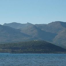
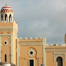
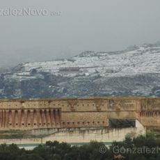
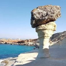
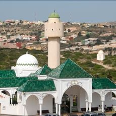
Bni Chiker, human settlement
Location: Nador Province
Elevation above the sea: 218 m
Shares border with: Beni Ansar, Ihddaden, Bni Sidel Jbel, Iaazzanene
GPS coordinates: 35.27353,-3.01507
Latest update: March 8, 2025 06:37
Gourougou
6.1 km
Rusaddir
5.4 km
Fort of Rostrogordo
6.9 km
Tazouda Castle
8.1 km
Central Mosque of Melilla
6.8 km
Fort Cabrerizas Altas
6.1 km
Fort of the Concepción
4.6 km
Fuerte de María Cristina
7 km
Parroquia de la Medalla Milagrosa, Melilla
6.5 km
Reloj Solar
6.6 km
Fuerte de Camellos
6.2 km
Casa de Salomón Cohen, Melilla
6.9 km
Cape Three Forks Lighthouse
18.9 km
Fortín de Reina Regente, Melilla
5.9 km
Museo del Automóvil de Melilla
6 km
Fuente del Bombillo
6.8 km
Casa de José Morely, Melilla
6.9 km
Casa de Francisco Bueno, Melilla
6.9 km
Muebles La Reconquista, Melilla
6.9 km
Sor Alegría, 6
6.9 km
Casa de Manuel Fernández Martín, Melilla
7 km
Tibouda Beach
17.5 km
Casa de los Sindicatos, Melilla
6.6 km
Tramontana Beach
13.9 km
Casa de Jacinto García Marfil, Melilla
7 km
Aguadú Cliffs
7.9 km
Cara Blanca
10.2 km
Sidi Guariach mosque
4.7 kmReviews
Visited this place? Tap the stars to rate it and share your experience / photos with the community! Try now! You can cancel it anytime.
Discover hidden gems everywhere you go!
From secret cafés to breathtaking viewpoints, skip the crowded tourist spots and find places that match your style. Our app makes it easy with voice search, smart filtering, route optimization, and insider tips from travelers worldwide. Download now for the complete mobile experience.
A unique approach to discovering new places❞
— Le Figaro
All the places worth exploring❞
— France Info
A tailor-made excursion in just a few clicks❞
— 20 Minutes