Ayeyarwady Region, Agricultural region in southwest Myanmar
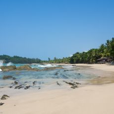
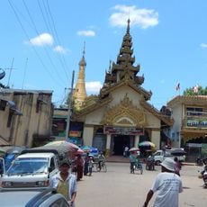
Ayeyarwady Region is a coastal area in southwest Myanmar between the Bay of Bengal and the Andaman Sea, crisscrossed by rivers and dotted with agricultural fields. Six administrative districts make up this area, with Pathein serving as the main urban center.
The area came under British control and remained so until independence in 1948, when it became part of the new nation. In 2008, a major cyclone struck and caused widespread damage to the region.
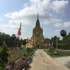
Different ethnic communities live throughout the region, maintaining rural traditions in farming and fishing that shape daily life. Traditional practices remain central to how people work and interact with the land and waterways.
The region connects to other parts of Myanmar through river routes and road networks, making travel possible by different means. Seasonal patterns affect conditions throughout the year, so timing your visit matters.
Fertile soil and abundant water make this the most productive agricultural zone in Myanmar for rice and other crops. The richness of water from rivers shapes not just farming, but the character of the entire landscape.
The community of curious travelers
AroundUs brings together thousands of curated places, local tips, and hidden gems, enriched daily by 60,000 contributors worldwide.