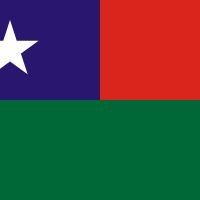
Myanmar, Republic in Southeast Asia.
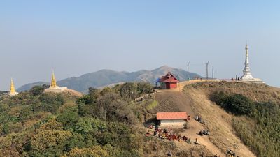
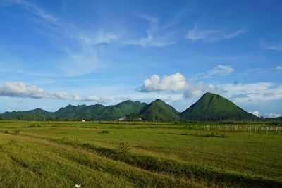
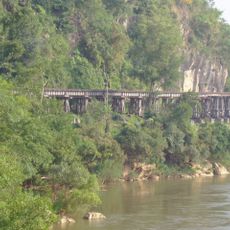
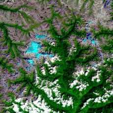
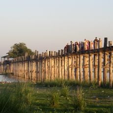
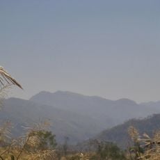
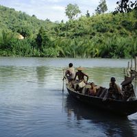
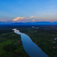
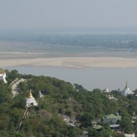
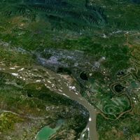
Myanmar is a republic in Southeast Asia that extends from the Tibetan highlands to the Malay peninsula and includes high mountain ranges enclosing a central valley with three major river systems. The landscape shows rainforests, coastal stretches along two seas, and wide river deltas in the southern part.
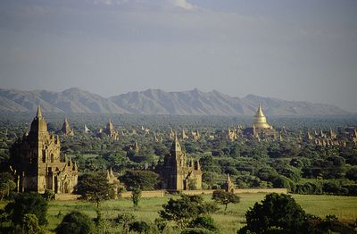
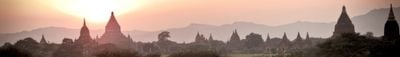
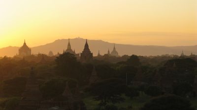
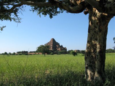
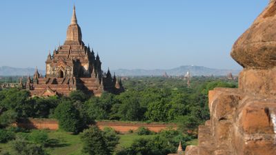
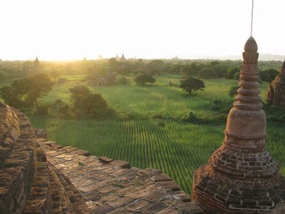
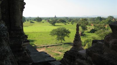
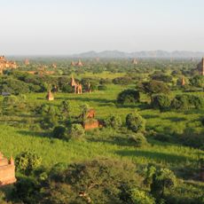
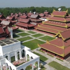
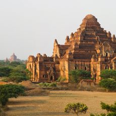
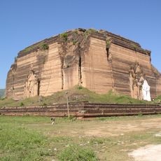
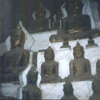
The Pyu civilization arose in the second century BCE in central regions, followed by Mon kingdoms in the south. The Pagan Kingdom unified large parts of the territory from the ninth century and built thousands of Buddhist temples before Mongol invasions in the thirteenth century led to dissolution.
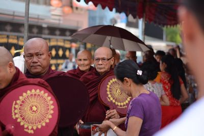
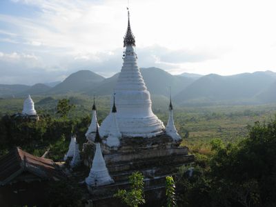
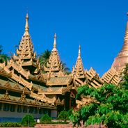
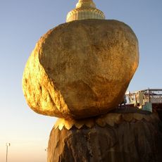
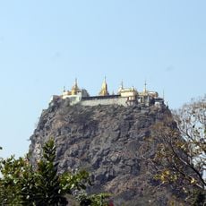
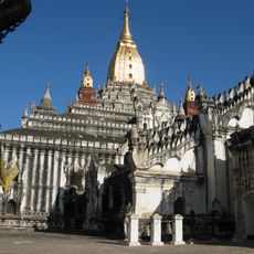
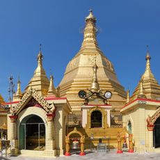
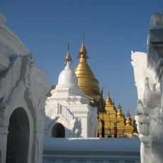
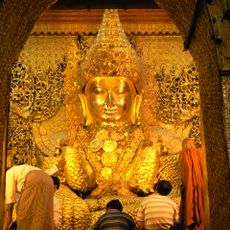
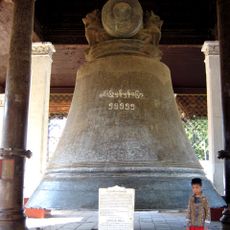
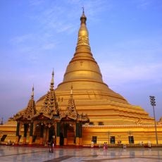
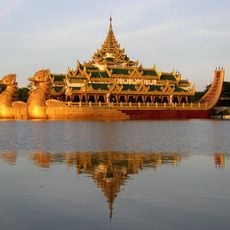
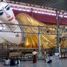
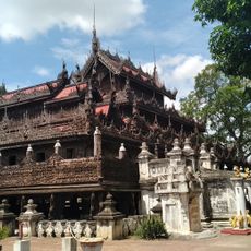
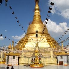
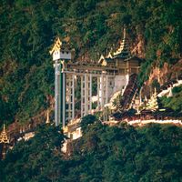
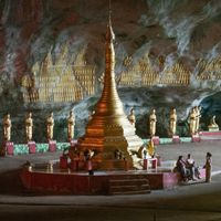
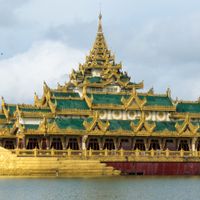
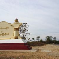
The name derives from the Bamar people, who form the largest population group and whose language serves as the official tongue across the nation. Golden pagodas define cityscapes in most towns, while monks in deep red robes are part of everyday life and walk through streets each morning to collect donations.
The best travel period falls between November and February when temperatures are comfortable and rainfall is low. International flights land in Yangon and Mandalay, while overland connections exist to Thailand, China, and India.
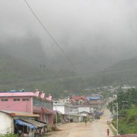
The Mogok region north of Mandalay has supplied high-quality gemstones for centuries that are traded on international markets. Traditional mining methods persist alongside modern techniques, and the nation produces 90 percent of the world's rubies, along with sapphires, pearls, and jade.
Location: မှော်ဘီမြို့နယ်
Inception: January 4, 1948
Capital city: Naypyidaw
Part of: Southeast Asia
Shares border with: Bangladesh, People's Republic of China, India, Laos, Thailand
Address: Myanmar (Burma)
Website: https://myanmar.gov.mm
GPS coordinates: 17.17505,95.99997
Latest update: December 15, 2025 08:40
Burma Railway
512.6 km
Bagan
460.8 km
Shwedagon Pagoda
44.9 km
Kyaiktiyo Pagoda
121.6 km
Hkakabo Razi
1251.4 km
Popa Hill
424.2 km
Mandalay Palace
536.4 km
Ananda Temple
460.5 km
U Bein Bridge
525.1 km
Mahamuni Buddha Temple
531.8 km
Shwezigon Pagoda
461.8 km
Goteik viaduct
582.3 km
Mount Saramati
958.6 km
Laykyun Sekkya
551.1 km
Sule Pagoda
47.7 km
Kuthodaw Pagoda
537.8 km
Mahamuni Buddha
531.8 km
Mingun Bell
543 km
Bogyoke Market
47 km
Uppatasanti Pagoda
289.6 km
Mowdok Mual
624.5 km
Karaweik
45.9 km
Dhammayangyi Temple
459.1 km
Kandawgyi Lake
45.8 km
Chaukhtatgyi Buddha Temple
44 km
Mingun Pahtodawgyi
542.8 km
Shwenandaw Monastery
537.3 km
Botataung Pagoda
48.8 kmVisited this place? Tap the stars to rate it and share your experience / photos with the community! Try now! You can cancel it anytime.
Rakhine State
Chin State
Kachin State
Shan State
Kayah State
Kayin State
Mon State
Sagaing Region
Tanintharyi Region
Ayeyarwady Region
Yangon Region
Bago Region
Magway Region
Mandalay Region
Naypyidaw Union Territory
Danu Self-Administered Zone
Kokang Self-Administered Zone
Naga Self-Administered Zone
Pa-O Self-Administered Zone
Pa Laung Self-Administered Zone
Wa Self-Administered Division
Discover hidden gems everywhere you go!
From secret cafés to breathtaking viewpoints, skip the crowded tourist spots and find places that match your style. Our app makes it easy with voice search, smart filtering, route optimization, and insider tips from travelers worldwide. Download now for the complete mobile experience.
A unique approach to discovering new places❞
— Le Figaro
All the places worth exploring❞
— France Info
A tailor-made excursion in just a few clicks❞
— 20 Minutes