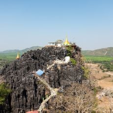
Mon State, State in southern Myanmar
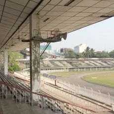
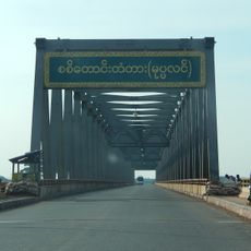
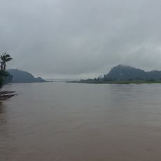
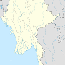
Mon State is located along the southern coast of Myanmar, stretching across approximately 12,000 square kilometers between several regions. The area includes numerous islands and provides access to the Andaman Sea, with Mawlamyine serving as its administrative center.
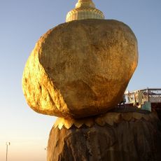
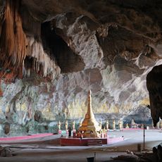
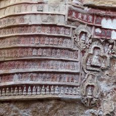
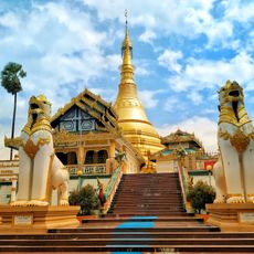
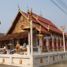
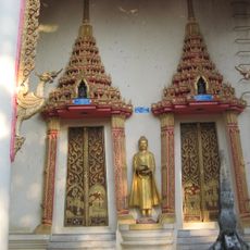
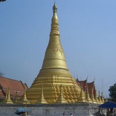
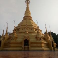
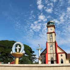
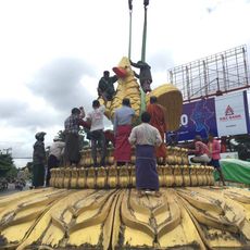
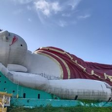
The Mon people established one of the earliest kingdoms in the region around 300 BCE and played a key role in spreading Theravada Buddhism. Their historical importance for the religious and cultural development of Southeast Asia remains evident today.
The Mon language shapes daily life in the region and is taught in schools, with local communities preserving their linguistic traditions. Visitors can experience this cultural identity through local communication and community activities.
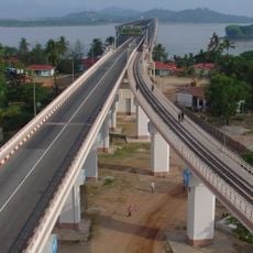
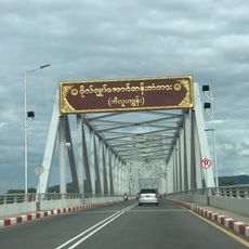
The region is best explored using local transportation, and coastal roads offer good accessibility between main destinations. Visitors should prepare for tropical weather and expect longer travel times during wetter months.
The area is defined by fishing and agriculture, with local farmers growing rice and rubber that thrive in the region's moist soils. Coastal and ocean fishing remains a central livelihood for many communities.
The community of curious travelers
AroundUs brings together thousands of curated places, local tips, and hidden gems, enriched daily by 60,000 contributors worldwide.