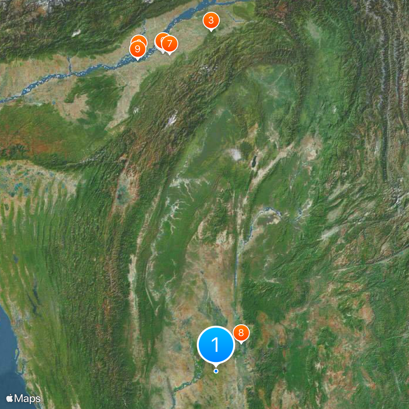
Sagaing Region, Administrative region in northwestern Myanmar
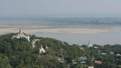
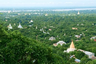
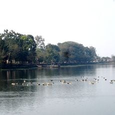
Sagaing Region is an administrative area in northwestern Myanmar comprising 37 townships and three self-administered zones. The Ayeyarwady River runs through it, serving as a natural dividing line and the main waterway for trade and transport.
The territory underwent significant administrative reorganization during British colonial rule until 1948. The changes made during that period established the regional divisions and governance structure that remain in place today.
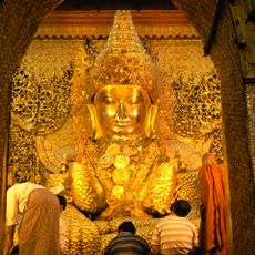
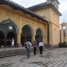
Several ethnic groups including Bamar, Shan, and Kuki people shape daily life through their distinct languages, traditions, and celebrations. Visitors notice this diversity in villages and markets, where different customs are visible in how communities organize their gatherings and rituals.
The cooler months offer the most comfortable time to travel and explore the different areas. Plan for extended travel times between communities and use local transport options, as distances between settlements are considerable.
The region leads the country in wheat production and contains important protected areas like Alaungdaw Kathapa National Park and Chatthin Wildlife Sanctuary. Substantial mineral deposits found here contribute significantly to local economic activity.
The community of curious travelers
AroundUs brings together thousands of curated places, local tips, and hidden gems, enriched daily by 60,000 contributors worldwide.