Tanintharyi Region, Administrative region in southern Myanmar.
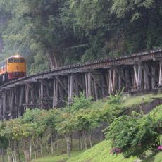
Tanintharyi Region extends along Myanmar's narrow southern strip, stretching from the Andaman Sea to the Thai border. The area encompasses several urban centers including Dawei, Myeik, and Kawthaung, which are connected by road networks.
The territory was long contested between Burmese and Siamese control until the British took authority in 1826 over the southern section. This shift shaped the region's development and administrative framework.
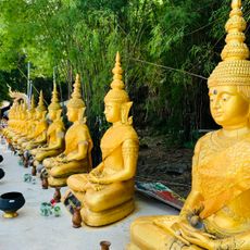
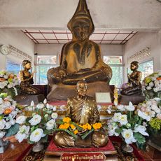
The region includes various ethnic groups such as Dawei, Karen, Mon, and Bamar people, with Buddhism representing the main religion at 87.5 percent.
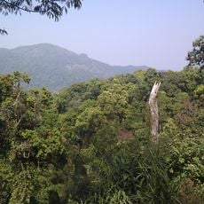
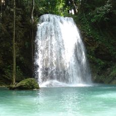
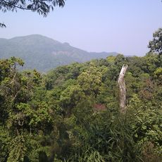
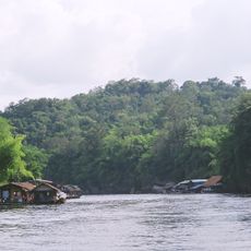
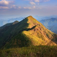
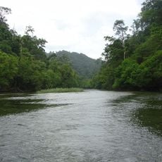
The region is marked by forests and waterways, making travel occasionally difficult, particularly during the rainy season. Visitors should prepare for variable conditions and limited services outside the main cities.
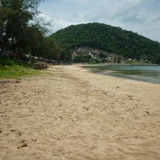
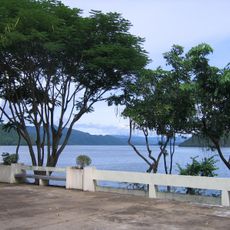
The coastline extends for hundreds of kilometers along the Andaman Sea, forming one of the country's longest water borders. This maritime character makes the region economically and geographically reliant on eastern sea resources.
Location: Myanmar
Capital city: Dawei
Elevation above the sea: 593 m
Shares border with: Mon State
GPS coordinates: 13.00000,98.75000
Latest update: December 19, 2025 22:24
Burma Railway
141.7 km
Wat Pha Luangta Maha Bua
134.7 km
River Kwai bridge
141.7 km
Hellfire Pass
152.5 km
Mueang Sing historical park
127.4 km
Vajiralongkorn Dam
201 km
Khao Chon Kai Training Camp
144 km
Kaeng Krachan National Park
68.9 km
Erawan National Park
154.1 km
Kanchanaburi War Cemetery
142.3 km
Sai Ri beach
295.5 km
JEATH War Museum
141.9 kmMilitary Youth Monument
285.2 kmBan Kao national museum
124.4 km
Khuean Srinagarindra National Park
196.6 kmWat Tham Khiritham
132 km
Phu Toei National Park
225.9 km
Kui Buri National Park
137.3 km
Death Railway Museum and Research Centre
142.3 km
Kaeng Krachan Forest Complex
72.1 kmWang Pho Viaduct
130.7 km
Sai Yok National Park
157.8 kmWat Tha Kradan
167.5 km
Wat Thang Sai
203.4 km
Thong Pha Phum National Park
192.1 km
Khao Laem National Park
225.7 km
Lampi Island Marine National Park
247.3 kmWat Thung Lat Ya
142 kmVisited this place? Tap the stars to rate it and share your experience / photos with the community! Try now! You can cancel it anytime.
Discover hidden gems everywhere you go!
From secret cafés to breathtaking viewpoints, skip the crowded tourist spots and find places that match your style. Our app makes it easy with voice search, smart filtering, route optimization, and insider tips from travelers worldwide. Download now for the complete mobile experience.
A unique approach to discovering new places❞
— Le Figaro
All the places worth exploring❞
— France Info
A tailor-made excursion in just a few clicks❞
— 20 Minutes