Shan State, Administrative region in eastern Myanmar
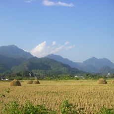
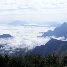
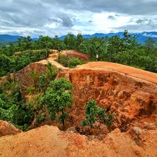
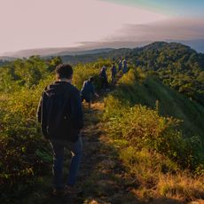
Shan State is an administrative region in eastern Myanmar that covers a wide mountainous area and borders China, Laos, and Thailand. The landscape features rugged hills, narrow river valleys, and broad plateaus where villages and fields are scattered.
The territory emerged from several principalities that were founded during the Pagan period in the 13th century and maintained a degree of autonomy. After British colonial rule in the 19th century, the area became part of independent Myanmar in 1948.
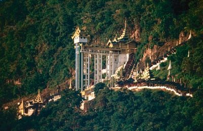
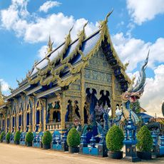
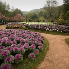
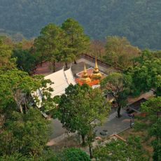
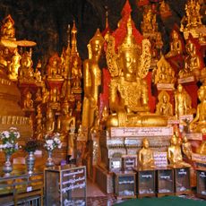
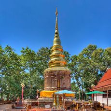
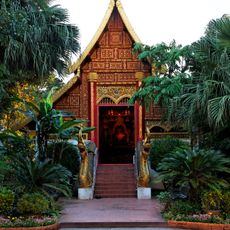
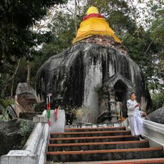
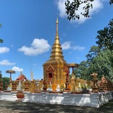
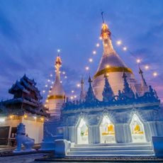
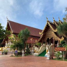
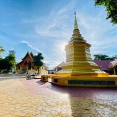
The region is home to over 30 ethnic groups, including the Shan, who gave the area its name and live in the valleys and plateaus. Weekly markets in the villages feature farmers selling fresh vegetables and handwoven textiles, while Buddhist temples mark the towns.
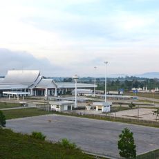
Traveling to the region requires preparation and information about current conditions in different areas, as some locations are difficult to reach or restricted. Roads in the mountains are often unpaved and become challenging to navigate during rain.
Inle Lake sits in the middle of the area and is known for its fishermen who stand on one leg at the oar and steer the boat with the other. This old technique is still practiced on the lake today and attracts visitors who want to observe daily life on the water.
Location: Myanmar
Capital city: Taunggyi
Elevation above the sea: 892 m
Shares border with: Kachin State, Bokeo Province, Kayin State, Sagaing Region, Mandalay Region, Kayah State, Mae Hong Son, Chiang Mai, Chiang Rai, Lūang Namthā, Yunnan
Website: http://shanstate.gov.mm
GPS coordinates: 21.50000,98.00000
Latest update: December 14, 2025 21:33
Wat Rong Khun
261.8 km
Tham Luang
230.7 km
Golden Triangle Special Economic Zone
254.1 km
Doi Nang Non
230.9 km
Wat Rong Suea Ten
260 km
Goteik viaduct
150.6 km
Phu Chi Fa
314.7 km
Doi Tung Royal Villa
231.6 km
Uppatasanti Pagoda
269.9 km
Tham Luang - Khun Nam Nang Non Forest Park
231.6 km
Royal Agricultural Station Anghang
208.3 km
Fourth Thai–Lao Friendship Bridge
285.5 km
Doi Angkhan
212.2 km
Doi Tung
230.3 km
Pindaya Caves
153.9 km
Pai Canyon
249.1 km
Wat Phra That Chom Kitti
254.5 km
Padah-Lin Caves
181.9 km
Wat Phra Kaeo
259.8 km
Doi Pha Hom Pok National Park
206.3 km
Wat Phra That Pha Ngao
260.1 km
Wat Phra That Doi Wao
227.9 km
Wat Huai Pla Kang
255.3 km
Wat Phra That Doi Kong Mu
244.9 km
Wat Phra Sing
260.1 km
United Stadium of Chiangrai
260 km
Wat Phra That Doi Chom Thong
259.1 km
National Kandawgyi Botanical Gardens
167.8 kmVisited this place? Tap the stars to rate it and share your experience / photos with the community! Try now! You can cancel it anytime.
Discover hidden gems everywhere you go!
From secret cafés to breathtaking viewpoints, skip the crowded tourist spots and find places that match your style. Our app makes it easy with voice search, smart filtering, route optimization, and insider tips from travelers worldwide. Download now for the complete mobile experience.
A unique approach to discovering new places❞
— Le Figaro
All the places worth exploring❞
— France Info
A tailor-made excursion in just a few clicks❞
— 20 Minutes