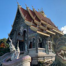
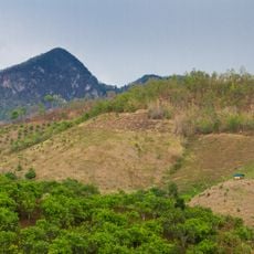
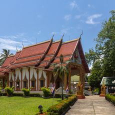
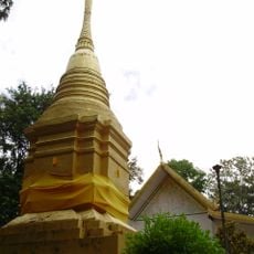
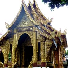
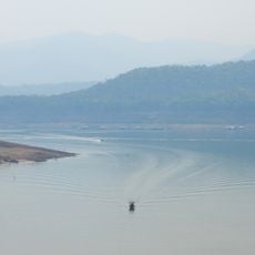
Doi Angkhan, Mountain summit in Fang District, Chiang Mai Province, Thailand.
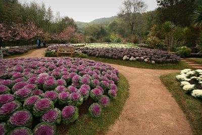
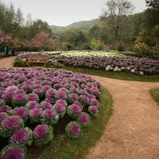
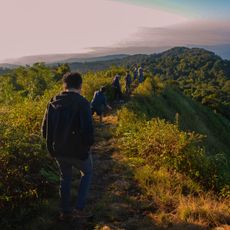
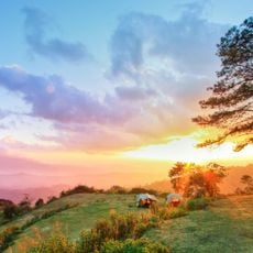
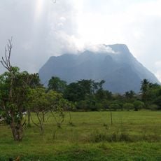
Doi Angkhan is a mountain summit in Chiang Mai Province that rises to about 1,928 meters and is crossed by hiking trails through temperate forests and agricultural terraces. The mountain offers various habitats, from wooded areas to cultivated land where different plant species are grown.
The mountain became the center of an important initiative in the 1960s when the state established a research station to support transformation of former cultivation areas. This project permanently changed land use and led to development of new farming methods in the region.
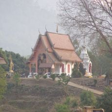
The slopes are home to various hill tribes like the Akha, Lahu, and Karen peoples who maintain their own ways of life and farming practices. Visitors can encounter these communities and see their work in the fields and villages scattered across the mountainside.
The mountain can be reached via a paved road from Fang town and has several local accommodations and a research station open to visitors. Those planning to hike should bring sturdy footwear and water, as the trails vary in difficulty.
The research station develops special techniques for growing plants that normally thrive in cooler climates, experimenting with vegetables and fruits that would not otherwise grow in Thailand. This research helps local farmers improve their crop yields and benefit economically.
The community of curious travelers
AroundUs brings together thousands of curated places, local tips, and hidden gems, enriched daily by 60,000 contributors worldwide.