Kayin State, Administrative region in southeastern Myanmar
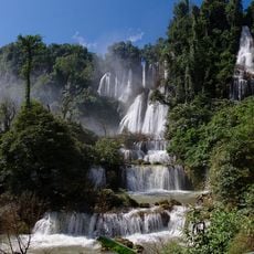
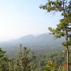
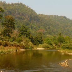
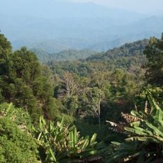
Kayin State is an administrative region in southeastern Myanmar with varied terrain ranging from limestone mountains to fertile plains, bordered by Thailand to the east. The territory covers roughly 29,000 square kilometers with diverse geographical features that shift from elevated highlands to flatter landscapes.
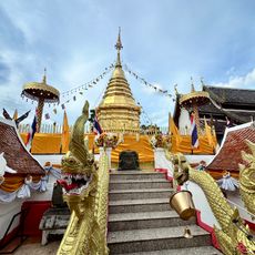
The region came under successive Burmese kingdoms from the 11th century onwards and later fell under British control following the Anglo-Burmese Wars. These periods shaped the political and social structures that influenced the territory through to modern times.
The Karen people express their heritage through festivals where you hear traditional instruments, watch ceremonial dances, and see distinctive clothing worn in daily life. These customs shape how the community celebrates together and maintains its identity.
Buses connect Hpa-An with other major towns and form the main transportation network in the region, though railway services remain limited. When traveling between places, allow extra time since infrastructure is basic and not always fast.
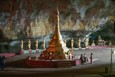
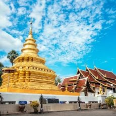
The region holds many limestone caves, with several containing Buddhist shrines and ancient wall paintings spanning several centuries. These caves are often hard to reach and many remain largely unexplored natural wonders that hide the territory's deeper history.
The community of curious travelers
AroundUs brings together thousands of curated places, local tips, and hidden gems, enriched daily by 60,000 contributors worldwide.