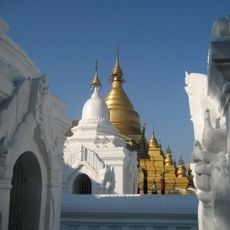
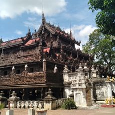
Geography of Myanmar, Diverse geographical region in Southeast Asia, Myanmar.
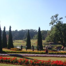
Myanmar's geography spans mountain ranges, rivers, plateaus, valleys, coastal areas, and tropical forests distributed across the country. This mosaic of landscapes creates a variety of natural environments and shapes how each region looks and functions.
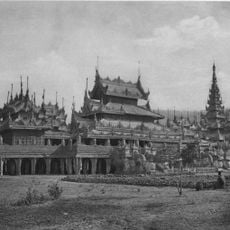
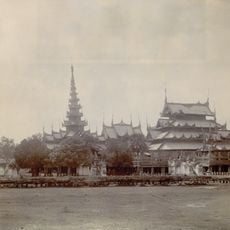
British colonial rule from 1824 to 1948 changed land use patterns and introduced agricultural practices that transformed the natural landscape. These impacts continue to influence how the land is used today.
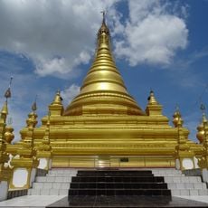
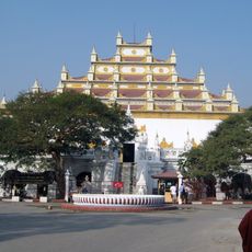
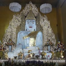
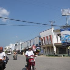
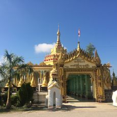
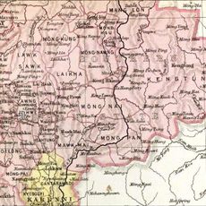
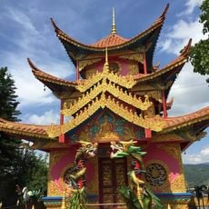
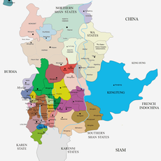
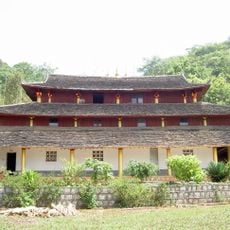
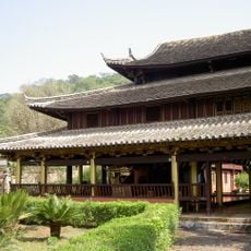
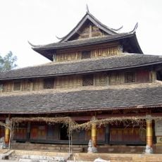
Mountain ranges and river valleys create distinct regions where different ethnic groups maintain their languages and customs tied to the land. You can see this diversity reflected in local settlements and the way communities adapt to their specific terrain.
The drier season between November and February offers moderate temperatures and less rain for traveling through the regions. At other times, monsoon rains and heat can limit movement and make reaching remote areas more difficult.
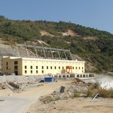
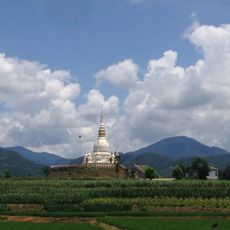
The Irrawaddy River flows through the country and creates a central valley that has supported rice farming and transport for centuries. This river is so central to life here that many local settlements and trade routes developed around it.
The community of curious travelers
AroundUs brings together thousands of curated places, local tips, and hidden gems, enriched daily by 60,000 contributors worldwide.