Mohnyin District, dystrykt w Mjanmie
Location: Kachin State
Elevation above the sea: 680 m
GPS coordinates: 24.78333,96.36667
Latest update: March 15, 2025 19:05

Mount Saramati
171 km
Ruili Port
179 km
Graveyard of the National Heroes
215.2 km
Jiegao
173.5 km
Alaungdaw Kathapa National Park
156.6 km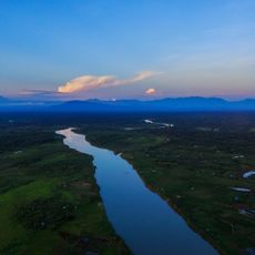
Hukawng Valley Tiger Reserve
185.2 km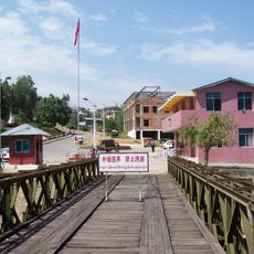
Category:Wanding Bridge
189.8 km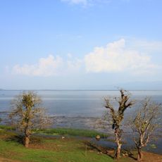
Indawgyi Lake Wildlife Sanctuary
40.2 km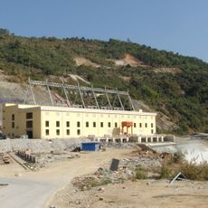
Shweli I Dam
167.2 km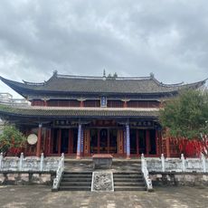
Tengchong Confucius Temple
217 km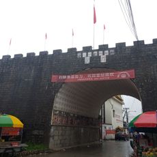
Pinglu City Ruin
172.4 km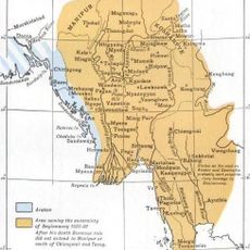
Wanmaw State
80.2 km
Wanding Border Economic Cooperation Zone
189.1 km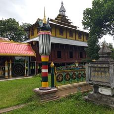
Denghannong Temple
168.8 km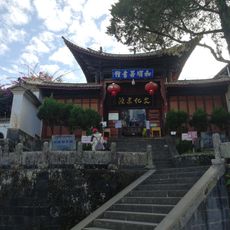
Yunnan Heshun Village Library
212.7 km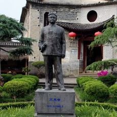
Memorial of Mr. Ai Siqi
213.1 km
Hansa-Tempel
171.7 km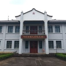
中缅边民联欢大会楼旧址
189.7 km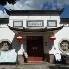
Former residence of Li Genyuan in Tengchong
215.7 km
Stilwell Road Museum
218.4 km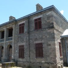
Former British Consulate in Tengchong
216.6 km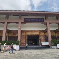
Memorial for Anti-Japanese War in Western Yunnan
215.3 km
E-phi Chaung
155 km
Dunhkung Hka
148.6 km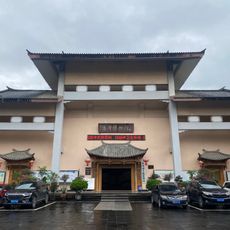
Tengchong Museum
216.2 km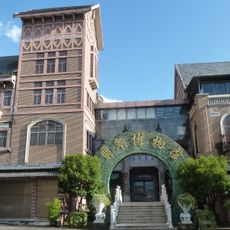
腾冲翡翠博物馆
219.1 km
Dondok Chaung
130.7 km
Dumbang Hka
103.5 kmVisited this place? Tap the stars to rate it and share your experience / photos with the community! Try now! You can cancel it anytime.
Discover hidden gems everywhere you go!
From secret cafés to breathtaking viewpoints, skip the crowded tourist spots and find places that match your style. Our app makes it easy with voice search, smart filtering, route optimization, and insider tips from travelers worldwide. Download now for the complete mobile experience.

A unique approach to discovering new places❞
— Le Figaro
All the places worth exploring❞
— France Info
A tailor-made excursion in just a few clicks❞
— 20 Minutes