Veenendaal, Municipality in Utrecht Province, Netherlands.
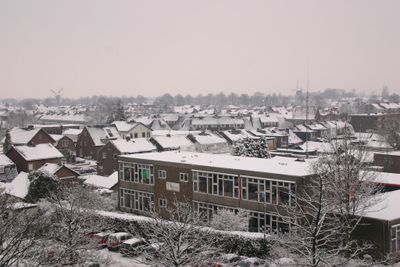
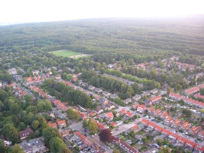
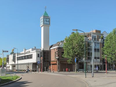
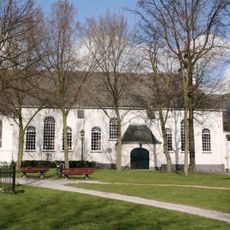
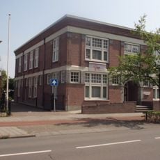
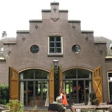
Veenendaal is a town in Utrecht Province that spreads across several square kilometers with green spaces around its edges. Two covered shopping centers define the downtown, which features car-free zones and around 300 shops for daily shopping needs.
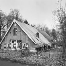
The town began in the 16th century as a peat extraction settlement in moorland. After a major flood in the mid-19th century, it shifted toward wool and cigar manufacturing as its main industries.
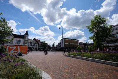
The pedestrian shopping center forms the heart of daily life, where residents and visitors move between shops and meet in open squares. This area reflects how the community uses and gathers in its downtown space.
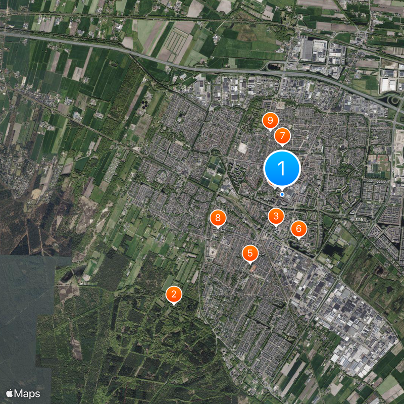
The town is easily reached by train from Veenendaal De Klomp station, with regular services to nearby cities. The car-free downtown makes walking and shopping straightforward for anyone arriving by train or bus.
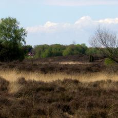
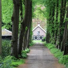
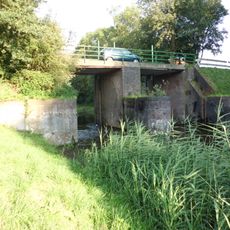
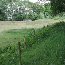
A green belt called Groene Grens intentionally surrounds the town and remains undeveloped as natural pasture. This deliberate open space provides habitat for birds and wildlife while creating a natural boundary between the town and surrounding countryside.
Location: Utrecht
Elevation above the sea: 6 m
Shares border with: Renswoude, Ede, Utrechtse Heuvelrug, Rhenen
Phone: +31318538538
Email: info@veenendaal.nl
Website: https://veenendaal.nl
GPS coordinates: 52.02500,5.55500
Latest update: December 14, 2025 21:00
Prattenburg
2.4 km
Adventkerk
508 m
Oude Kerk
152 m
Vredeskerk
1.2 km
De Hoeksteen
746 m
De Nieuwe Molen
773 m
Sint-Salvatorkerk
1.1 km
De Vriendschap
1 km
Het kruis op de berg
3.2 km
De Laan
2.9 kmDiddersgoed
1.6 km
Huis Prattenburg
2.4 km
Cunerahoeve
2.4 km
Kazemat GL126 op de liniedijk langs de A12
3.6 km
Kazemat GL125 op de liniedijk langs de A12
3.7 kmStichting Museum Veenendaal
401 mWerk aan den Rooden Haan
2.5 km
Prattenburg: historische tuin- en parkaanleg
2.6 km
Damsluis In het Valleikanaal bij het Werk a/d Rooden Haan
2.5 km
Prattenburg: boerderij
2.5 km
Kantoorgebouw
1 km
Monument voor de Gevallenen
685 m
Kazemat R003-P
2.5 km
Kazemat GL134
2.6 km
Fort bij de Buurtsteeg, gedeelte ten zuiden van de spoorlijn
2.6 km
Koetshuis Prattenburg
2.5 km
Prattenburg: familiegraf
2.9 km
Prattenburg: schuur
2.4 kmVisited this place? Tap the stars to rate it and share your experience / photos with the community! Try now! You can cancel it anytime.
Discover hidden gems everywhere you go!
From secret cafés to breathtaking viewpoints, skip the crowded tourist spots and find places that match your style. Our app makes it easy with voice search, smart filtering, route optimization, and insider tips from travelers worldwide. Download now for the complete mobile experience.
A unique approach to discovering new places❞
— Le Figaro
All the places worth exploring❞
— France Info
A tailor-made excursion in just a few clicks❞
— 20 Minutes