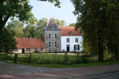
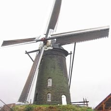
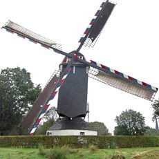
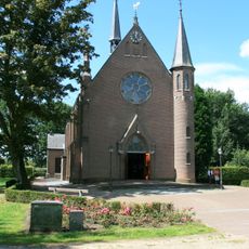
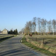
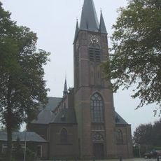
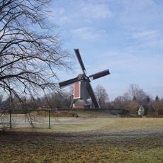
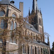
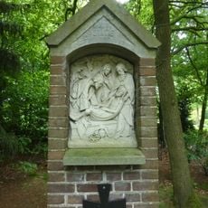
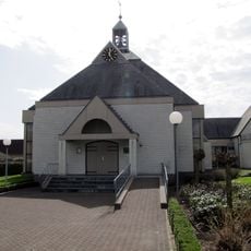
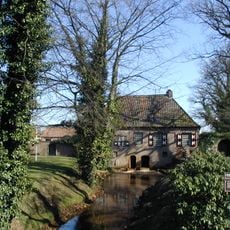
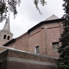
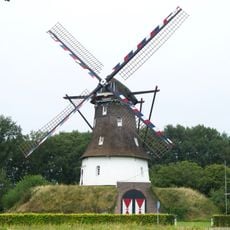
Deurne, municipality in the Netherlands
Location: North Brabant
Capital city: Deurne
Elevation above the sea: 26 m
Shares border with: Gemert-Bakel, Asten, Helmond, Venray, Horst aan de Maas
Phone: +31493387711
Email: info@deurne.nl
Website: https://deurne.nl
GPS coordinates: 51.46390,5.79470
Latest update: March 13, 2025 09:40
Groot Kasteel, Deurne
857 m
Kasteel Asten
8.6 km
De Wieger
555 m
Klein Kasteel, Deurne
990 m
Sint-Willibrorduskerk
30 m
Heilige Maria Presentatiekerk, Asten
7.7 km
Museum Klok & Peel
8 km
Holten's molen
590 m
Dinghuis
843 m
Sint Willibrordus
6 km
Onze-Lieve-Vrouw-Presentatiekerk
5.7 km
Sint-Barbarakerk
6.3 km
Wolfsberg
830 m
Haageind
731 m
Maria-Antoinette
1.4 km
Ter Vloet
1.1 km
Sint-Willibrorduskerk (Zeilberg)
1.9 km
De Oostenwind
7.2 km
Jan Paagman Sterrenwacht
7.9 km
Sint-Willibrorduskerk
5.8 km
Processiepark Mariaoord
5.7 km
Sint-Odakerk
7.6 km
Watermolen Deurne
847 m
Willibrordus (Milheeze)
4.4 km
Rouwkuilen
9.1 km
Willibrordusput
13.5 km
Laurentia
4.7 km
Rijksbeschermd gezicht Griendtsveen
7 kmReviews
Visited this place? Tap the stars to rate it and share your experience / photos with the community! Try now! You can cancel it anytime.
Discover hidden gems everywhere you go!
From secret cafés to breathtaking viewpoints, skip the crowded tourist spots and find places that match your style. Our app makes it easy with voice search, smart filtering, route optimization, and insider tips from travelers worldwide. Download now for the complete mobile experience.
A unique approach to discovering new places❞
— Le Figaro
All the places worth exploring❞
— France Info
A tailor-made excursion in just a few clicks❞
— 20 Minutes